Sonali Tiwary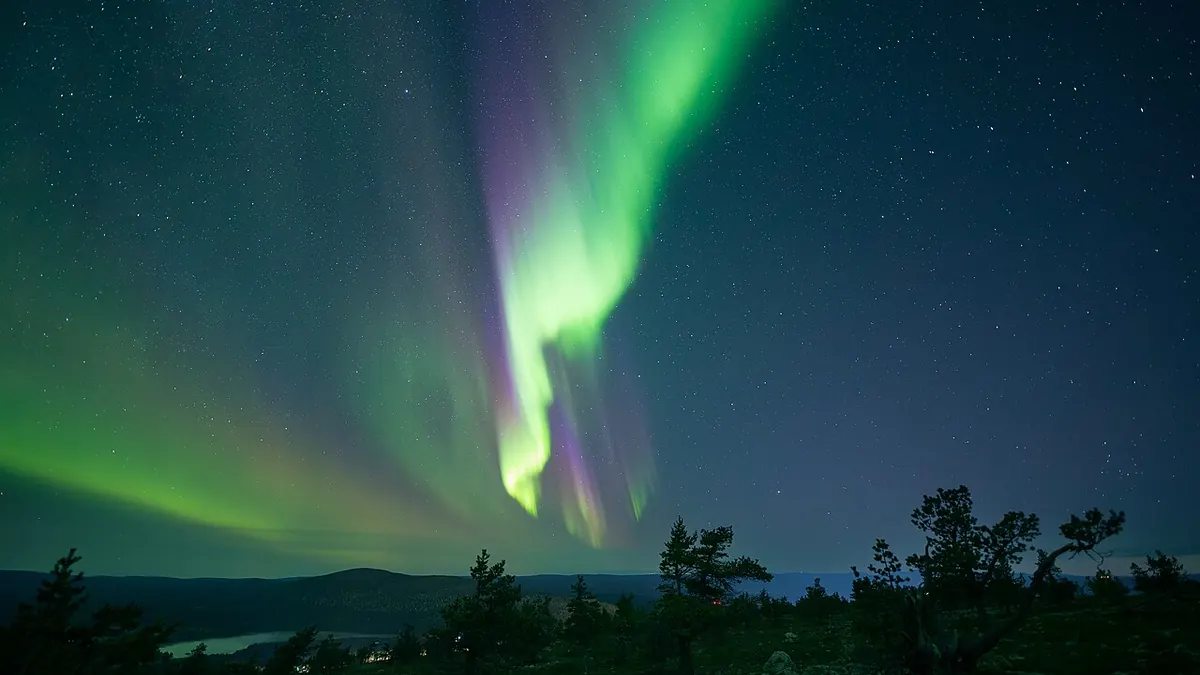
NOAA's Space Weather Prediction Center has issued a G2 (Moderate) Geomagnetic Storm Watch for October 9. That means the Northern Lights could be visible across parts of the northern United States. Whether you personally see anything depends on factors most aurora roundups don't address.
What Triggered the Watch
A coronal mass ejection — a large burst of solar plasma and magnetic field — erupted from Active Region 4549 on October 6 following an M1.4-class solar flare. NOAA's ENLIL solar wind model projects the CME shock front to arrive at Earth between 18:00 UTC October 8 and 06:00 UTC October 9. If conditions align, the Space Weather Prediction Center forecasts the planetary K-index (Kp) reaching 6.0 during peak activity — the threshold for a G2 storm.
Stargazers hoping to catch the Northern Lights across northern US states must look beyond generic state lists and track real-time geomagnetic conditions. Because a G2 storm typically produces subtle horizon glows rather than overhead ribbons at mid-latitudes, successful viewing requires escaping urban light domes, looking toward the northern horizon after 10:00 PM local time, and monitoring live Kp data to confirm whether Earth's magnetic field has locked into a favorable southern orientation.
What a G2 Watch Actually Means for Skywatchers
A watch means storm conditions are possible or likely — not that they will occur. And even if the storm develops at full G2 strength, aurora visibility at mid-latitudes is not guaranteed.
The critical factor most articles skip entirely is the interplanetary magnetic field's Bz component. Incoming CME energy only drives brilliant mid-latitude auroras if the Bz orients southward — allowing solar wind plasma to reconnect with Earth's magnetosphere and inject energy into the upper atmosphere. A northward Bz deflects the energy entirely. You can have a full G2 storm registering on instruments and see nothing from the ground. Real-time Bz data from NASA's DSCOVR satellite at the L1 Lagrange point is the only reliable check — and that data updates every minute.
There are also favorable conditions working in skywatchers' favor this week. The moon is in an early crescent phase, meaning virtually zero moonlight interference. Dark-sky sites well north of city light pollution will have ideal viewing geometry if skies stay clear. The aurora view line during a G2 event dips across Washington, Idaho, Montana, North Dakota, South Dakota, Minnesota, Wisconsin, Michigan, northern New York, Vermont, New Hampshire, and Maine.
One more detail worth tracking: this CME originated near the center of the Earth-facing sun as a full halo eruption — meaning it is aimed directly at Earth's magnetosphere, not as a glancing blow. Full halo CMEs of this type carry a higher probability of driving sustained geomagnetic activity. Viewers who step outside early, check their weather app, and see clear skies may wait through quiet periods — then miss a brief burst of peak activity by going inside.
Photographically, smartphone night modes and dedicated camera sensors tuned to ISO 1600–3200 with 3 to 5 second exposures will often detect faint auroral colors before the human eye adapts to the dark.
Does a G2 geomagnetic storm guarantee northern lights where I live?
No. A G2 watch means moderate storm conditions are possible, which improves aurora chances in northern-tier states. Actual visibility depends on whether the CME's magnetic field points southward on arrival, local cloud cover, light pollution, and your distance from city lights. Check NOAA's real-time SWPC dashboard and local forecasts closer to Thursday night before making a viewing trip.
If the G2 storm develops as projected, NOAA will upgrade its notifications in real time. Watch for any watch-to-warning escalation, which would indicate confirmed storm conditions and improve viewing confidence.