Karmactive Staff
Florida’s hurricane season outlook for 2026 includes a silver lining: El Niño is suppressing Atlantic hurricane activity. But before anyone relaxes, here’s what that actually means, and why the state still needs to be prepared.
The National Oceanic and Atmospheric Administration released its August outlook with clear data. There’s a 75 percent probability of a below-normal Atlantic hurricane season. Forecasters expect 7 to 13 named storms, compared with the historical average of 14. They’re predicting 2 to 6 hurricanes instead of 7. Major hurricanes, defined as Category 3, 4 or 5 storms, are forecast at 0 to 2, well below the average of 3.
That’s where El Niño comes in. The climate pattern brings warmer than normal ocean temperatures across the central and eastern Pacific. It changes wind patterns across the Atlantic. Specifically, it increases vertical wind shear—the change in wind speed or direction at different altitudes. More shear tears tropical storms apart before they can organize into hurricanes. It’s like nature’s version of wind resistance that prevents growth.
That’s real. That’s measurable. NOAA’s scientists have decades of data showing that strong El Niño years typically mean quieter Atlantic seasons.
But here’s what doesn’t follow: a below-normal season means zero risk.
NOAA is explicit about this. A seasonal forecast is not a landfall forecast for a particular city. NOAA scientists can predict trends across six months, but they cannot predict whether Miami, Tampa, or Pensacola will get hit. They cannot predict the timing. They cannot predict the intensity of individual storms. A seasonal average doesn’t work that way. Hurricane season runs from June through November. The peak months are August, September, and October. That’s still ahead. In those three months, a single powerful storm can arrive regardless of what happens across the rest of the season.
Think of it this way. A weather forecast for a quiet week doesn’t mean Friday will be completely still. One severe storm can arrive during an otherwise calm period. Same logic applies to seasonal forecasts.
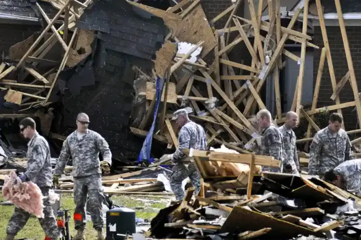
History supports this. Powerful hurricanes have formed during what turned out to be active seasons. Storms have intensified rapidly despite favorable seasonal conditions. A quiet season forecast didn’t protect the communities affected. The same can happen again.
Residents in Florida and Gulf communities should continue standard hurricane preparation. That means knowing evacuation routes, maintaining emergency supplies, staying informed during peak season, and not assuming a quiet seasonal forecast means personal safety. NOAA cautions that a seasonal outlook does not predict whether a particular location will experience a hurricane landfall.
El Niño is suppressing activity. That’s real and measurable. But suppressed activity is not the same as eliminated risk. Preparation remains essential.