 Rahul Somvanshi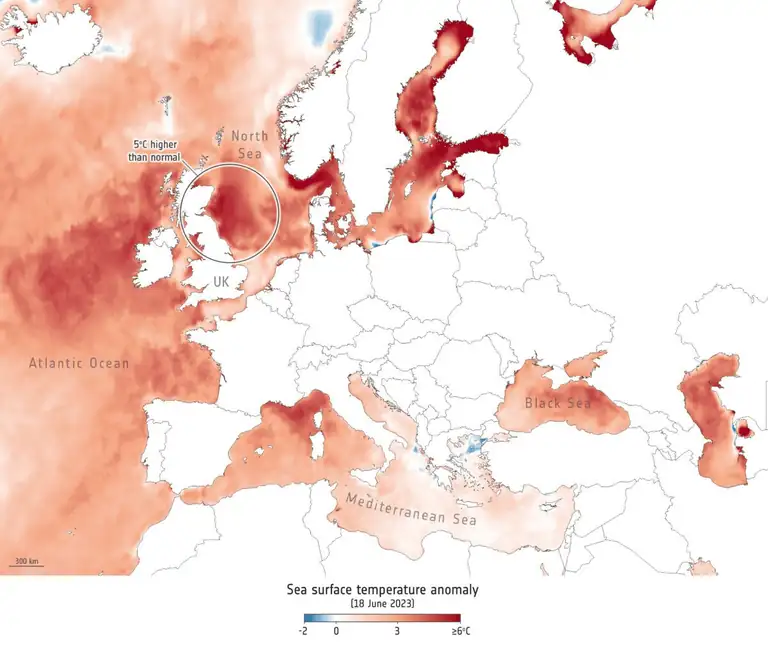
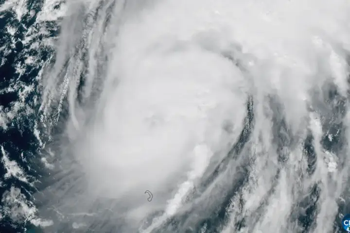
The Pacific Ocean is heating up in an unusual way, and meteorologists say what happens there thousands of miles from Britain could change your autumn weather significantly. The UK Met Office has detected warming in the tropical Pacific that matches the strongest periods on record from 1982, 1997, and 2015. Met Office forecasts for the Niño 3.4 region are showing sea-surface-temperature anomalies above 3°C in the coming months. Scientists describe this as exceptional, and some are calling it unprecedented based on their forecasting models.
This matters because warm water in the Pacific doesn’t stay put. The warming disrupts wind patterns that normally direct weather systems across the Atlantic toward Europe. When the Pacific heats up this way, it shifts the jet stream—the river of fast-moving air that steers storms and weather fronts—sending it slightly more southward across Western Europe. That shift means more moisture-laden low-pressure systems can track across the UK during autumn months, particularly November and December.
Their long-range computer models, called GloSea, are projecting sustained temperature anomalies extending into early 2027. NOAA reported that El Niño conditions were present in June, while the WMO forecast a high probability of continued El Niño development.
What does this actually mean for UK residents? The Met Office expects the chances of wetter and stormier conditions to increase during autumn and early winter, particularly from October through December. River catchments may experience persistent runoff, raising flood risk particularly in areas with already-saturated soil heading into autumn.
This isn’t a guarantee of disaster. The Met Office emphasizes that El Niño changes the odds—it shifts probabilities—but no two El Niños are identical. Some autumns stay relatively dry despite the warning signs. However, households and businesses should treat this as a planning signal. Home and business owners in flood-prone areas should verify drainage systems, ensure gutters are clear, check non-return valves on drainage pipes, and review insurance coverage for water damage.
The agricultural sector faces its own considerations. Waterlogged soil conditions in autumn can delay planting schedules and complicate field operations. Supply chains for winter crops may be affected if autumn weather patterns align with the forecasts.
The global angle is equally significant. El Niño typically influences the Indian summer monsoon—the wet season that brings the bulk of India’s annual rainfall. The Met Office reports that Indian monsoon rainfall was already running below normal in their August assessment. If this El Niño pattern strengthens as forecast, reduced monsoon rainfall could stress agricultural regions across South Asia, affecting commodity markets for global grain and pulse prices heading toward 2027.
Ocean warming doesn’t work like a light switch. It accumulates over months. The jet stream disruption takes time to fully establish. Regional weather effects build gradually. Forecast confidence and the expected regional impacts will be reassessed as the event develops.
The Met Office will issue regular updates through their forecasting portal. The World Meteorological Organization publishes quarterly climate outlooks. For UK residents and businesses, the practical message is straightforward: treat autumn 2026 as a period with elevated rainfall risk, verify your property’s drainage and insurance, and watch official weather forecasts as they develop.