Sonali Tiwary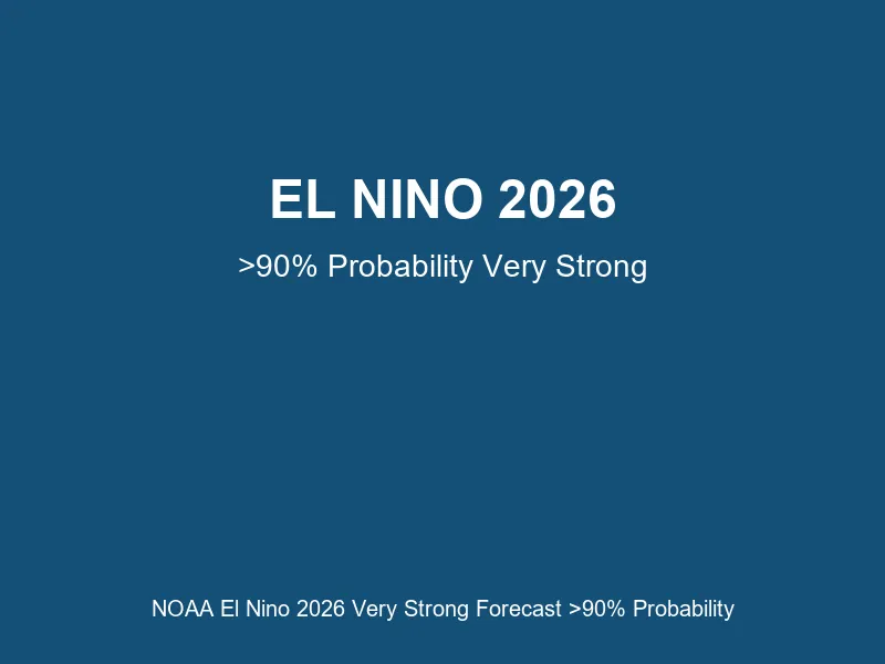
The National Oceanic and Atmospheric Administration (NOAA) Climate Prediction Center (CPC) maintains an active El Nino advisory as of August 2026. The Oceanic Nino Index (ONI) for the Nino 3.4 region is positioned between +1.4°C and +2.2°C above the 1991-2020 baseline, placing the event in the “very strong” category. In the Nino 1+2 region (far eastern tropical Pacific), temperature anomalies have reached +2.9°C.
On August 13, 2026, NOAA CPC issued an assessment indicating a greater than 90% probability that very strong El Nino conditions will persist through the Northern Hemisphere fall and winter of 2026-2027. Subsurface oceanic data reveals substantial thermal reserves, with temperature anomalies reaching +10.0°C or higher at depths between 180 and 100 meters west of the International Date Line in the western tropical Pacific. These subsurface heat reserves represent stored thermal energy that can sustain or reinvigorate surface warming conditions over extended periods.
The Australian Bureau of Meteorology (BOM) has issued complementary guidance indicating that El Nino is expected to strengthen further throughout the Southern Hemisphere spring (September-November 2026), persist into summer months, and continue into autumn 2027. This extended outlook reflects the magnitude of thermal anomalies currently observed in the equatorial Pacific Ocean and the persistence of the driver mechanism.
A critical distinction must be made in interpreting climate signals: short-term atmospheric and oceanic fluctuations (daily or weekly variations in temperature or precipitation) do not indicate that an El Nino event has ended or paused. The underlying ocean temperature anomaly remains the authoritative indicator of event status and intensity. Media reporting sometimes mischaracterizes brief cooling episodes or wet spells as signs that El Nino has “paused” or “ended”—these characterizations do not align with the thermodynamic basis of the phenomenon.
El Nino operates through a thermodynamic mechanism: warmer-than-normal ocean temperatures in the tropical Pacific increase atmospheric water-vapor content by approximately 7% per degree Celsius of warming. This moisture increase modulates jet stream positioning, which in turn drives precipitation and temperature anomalies across the globe. Drought impacts have been observed in Southeast Asia, southern Africa, and northern Australia. Storm activity has intensified in the southern United States and parts of South America.
Households, agricultural enterprises, and public-health authorities should monitor ongoing updates from NOAA and BOM as the season progresses. Preparation for variable extreme weather—including potential heatwaves, heavy precipitation events, and drought cycles—remains appropriate for regions historically affected by El Nino teleconnections.