 Govind Tekale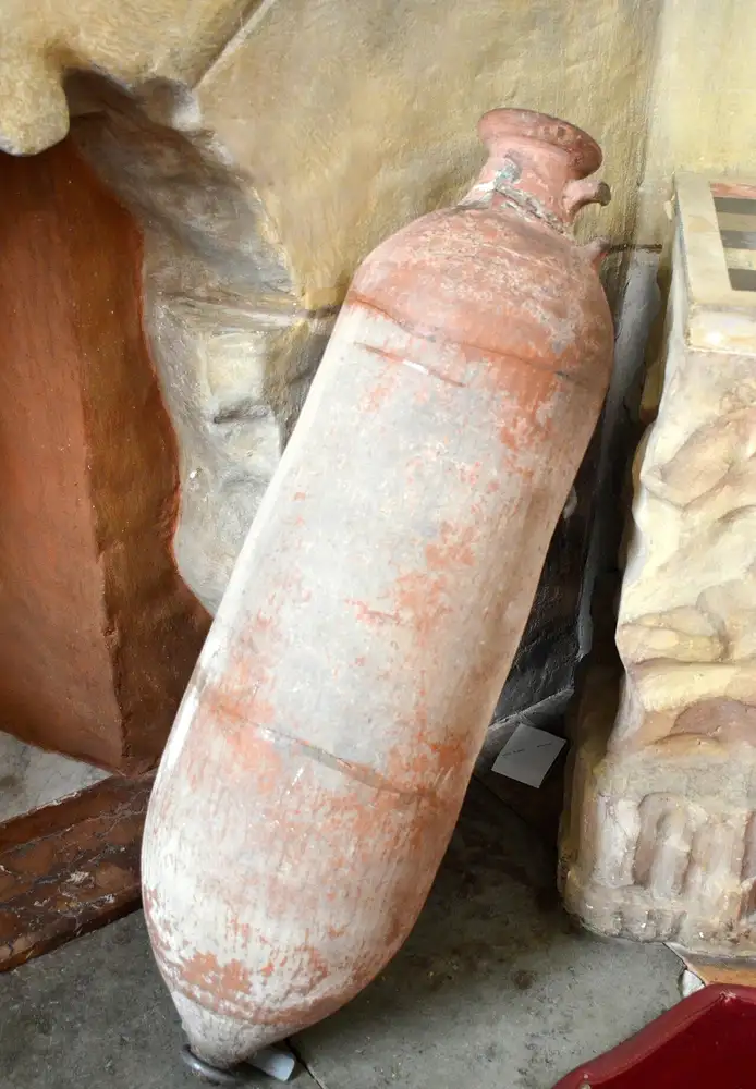
Two ancient shipwrecks discovered in the Mediterranean Sea are giving archaeologists rare glimpses into how people traded goods thousands of years ago. One wreck off Greece held cargo from around 400 BCE, while another off Sicily dates to the Roman era.
The Greek wreck lies 130 to 145 feet deep in waters off Andros Island in the Cyclades. Archaeologists from Greece’s Ministry of Culture found approximately 600 to 650 ceramic vessels still sitting on the seabed. These containers, called amphorae, were designed specifically to carry liquids like wine or oil on long sea voyages. The pointed bottoms allowed them to nestle securely in ship holds without rolling.
Three distinct types of amphorae rested in this cargo, each made in different parts of the ancient world. Mende amphorae came from the Chalcidice peninsula. Peparethos vessels were produced on Skopelos Island. Solokha 2 amphorae are associated with the wider Black Sea archaeological sphere, providing clues to the broader trading networks represented by the cargo.
The cargo composition suggests this single merchant ship was consolidating goods from multiple sources for delivery to distant markets. Archaeologists also recovered fragments of a lead anchor stock. Ballast stones that anchored the vessel in the water were identified as well. These details help date the wreck. The style of the amphorae places the cargo in the Late Classical period, roughly 2,400 years ago.
Off Sicily’s southern coast, the Italian Regional Superintendency of the Sea documented a Roman-era wreck at about 150 feet deep. This ship carried hundreds of Dressel 1A and Lamboglia 2 wine amphorae, along with North African and Punic oil jars. Lead anchor stocks rested beside the cargo.
Modern underwater archaeology uses technologies like 3D photogrammetry and acoustic mapping to study wrecks. Researchers photograph every detail from multiple angles, creating three-dimensional digital models. Sonar mapping creates detailed maps of cargo arrangement and vessel structure.
This non-destructive approach differs sharply from salvage operations that rip artifacts from the seabed. Mediterranean nations, including Greece and Italy, maintain strict ownership of underwater antiquities. The discoveries were reported to the relevant cultural authorities for documentation and protection.
The preserved cargo reveals what mattered to ancient merchants—wine, oil, and the containers that protected them during weeks at sea. Understanding how ancient people conducted commerce helps historians grasp how civilizations developed, what they valued, and how connected they were to distant regions. These underwater snapshots preserve that history in ways that few other sources can.