Sonali Tiwary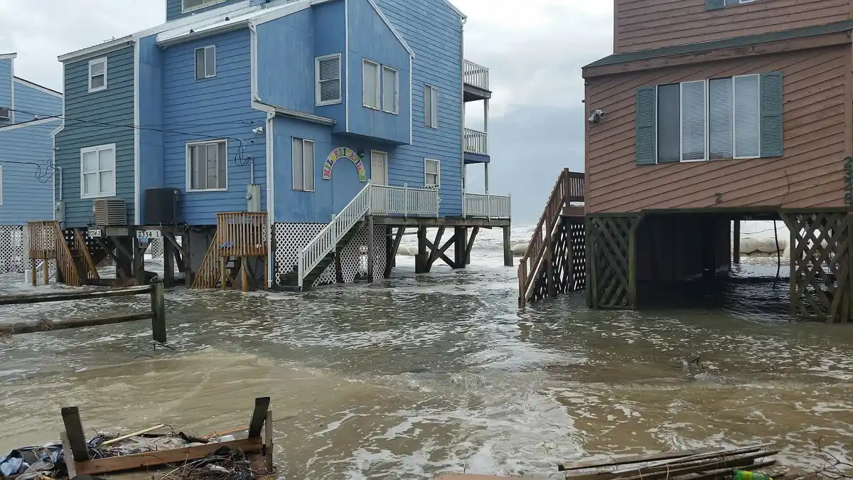
Estimated reading time: 2 minutes
Heavy rains have battered North Carolina this week, dumping between three and six inches of water across the Piedmont Triad region with more moisture still on the way. The National Weather Service issued flash flood warnings, cautioning residents about dangerous conditions on roadways, in neighborhoods, and across low-lying areas.
A coastal low pressure system moving inland has been the culprit, bringing multiple rounds of thunderstorms that refuse to let up. Forecasters warned that an additional one to two inches of rain could fall before conditions improve, pushing already-saturated ground past its limits. Some low-lying and poor-drainage areas experienced flooding as water accumulated more rapidly than drainage systems could manage.
Among the affected areas were the Outer Banks where communities face especially tricky conditions. Neighborhoods near canals and marshes are particularly vulnerable because water has nowhere to drain when storms deliver this much rain in such short timeframes. Areas along NC 12 near Pea Island have flooded repeatedly as the road sits low and prone to washout. The Mount Airy and Pilot Mountain areas in northeastern Surry County experienced a Flash Flood Emergency with rainfall totals of 102 to 178 millimeters (4 to 7 inches), prompting municipal states of emergency.
Heavy rainfall combined with poor drainage systems and steep terrain created dangerous conditions. The Blue Ridge Parkway and Foothills received warnings for especially dangerous flash flooding because mountain terrain channels water downhill rapidly. Communities in the Piedmont region faced localized flooding through Sunday morning, with scattered showers expected to continue.
Residents reported reduced visibility on highways, standing water covering road surfaces, and road closures forcing drivers to find alternate routes. The state urged people to avoid driving through flooded areas using the safety message: turn around, don’t drown. Water depths can rise dangerously within minutes. Experts emphasize that flash flooding can occur even after rainfall decreases, requiring continued vigilance.
Temperatures are expected to cool into the mid-seventies as the front moves through, but the moisture won’t disappear quickly. The stalled front hanging over the Carolinas means Friday and Saturday will remain cloudy and wet with scattered showers. By Sunday afternoon, conditions should gradually improve with partly cloudy skies and temperatures returning to normal ranges.
Keeping emergency supplies ready, knowing evacuation routes, and monitoring local alerts can make a real difference when flash flooding strikes suddenly.