 Rahul Somvanshi
 Karmactive Team
Assam Is Drowning — And A 5-Year Promise Just Ran Out
68 dead. 524,000 displaced. A flood-free pledge made in 2021, the five years that followed, and four structural reasons the Brahmaputra keeps winning.
On July 18 and 19, 2026, Charaideo district recorded 436 percent above normal rainfall in two days. Nagaland’s Mokokchung recorded 493 percent above normal. Normal for those days: 31.7 millimetres. What actually fell: 170 millimetres. Rivers in Upper Assam did not rise gradually. They erupted — and the state had hours, not days, to respond.
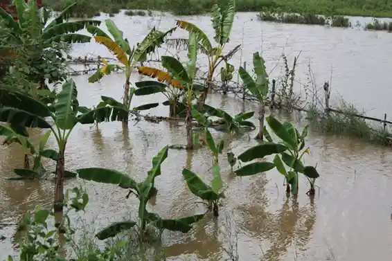
What followed was the worst flooding these four districts had seen in nearly two decades, according to the Assam State Disaster Management Authority. At peak, 978,000 people across 1,040 villages were affected. As of July 27, 68 people are dead and 524,000 remain displaced across five districts.
The Rain That Started It All
Five Districts. One Crisis.
From First Rain to 68 Dead: The July Timeline
The Rescue Operations on the Ground
Four Structural Reasons Assam Floods Every Year
The Embankment Problem & Three Proposed Fixes
Water Levels Drop. Questions Don’t.
The Assam State Disaster Management Authority has reported 68 deaths, 524,000 displaced people, and 1,040 affected villages as of July 27, 2026. The NDRF, IAF, and Indian Army have conducted rescue and relief operations across the five worst-hit districts since July 19.
The four structural causes behind Assam’s annual flooding — sedimentation, aged embankments, upstream deforestation, and wetland loss — were covered above with findings from Dr. Arup Kumar Sarma and Professor Abani Kumar Bhagabati of Gauhati University. The ₹692-crore wetland restoration project approved by the Central Government in June 2026 was also covered, alongside the Model Flood Plain Zoning Bill of 1975.
The Assam government has stated that rehabilitation is now the priority. A Central inter-ministerial team arrived on July 25 to assess damage on the ground.