Sonali Tiwary
The Seismic Event
The Tectonic Context
Colombia’s seismic hazard originates from the subduction of the Nazca Plate beneath the South American Plate at the Pacific coast and the Caribbean Plate interaction at its northern border. Unlike the circum-Pacific Ring of Fire, Colombia’s primary seismic risk stems from these Caribbean and Pacific plate margins.
The Australian Connection
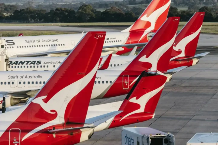
Australia’s Department of Foreign Affairs and Trade (DFAT) confirmed the activation of its crisis response protocol within 90 minutes of the tremor. Initial reports indicate the response accounted for approximately 85% of registered Australians in the region.
Humanitarian Response
Casualties and international response: At least 132 people died and 570 were injured according to the Colombian Association of Capital Cities. President Abelardo de la Espriella declared a state of emergency.
Australia’s contribution through the Red Cross and formal humanitarian channels: $2 million in emergency assistance.
Source: Colombian Geological Service; Universidad Nacional de Colombia. Related: Colombia 6.3 earthquake; Colombia volcano.