Sonali Tiwary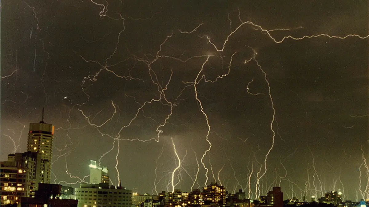
Severe thunderstorms are forecast for Sydney and Brisbane early next week, with Tuesday, October 13, the day to watch. If your car is parked outside, plan cover for it now. Here is what the Bureau of Meteorology says, what Weatherzone expects, and what to do before storms arrive.
The Bureau of Meteorology has warned that a band of rain moving from central Australia could bring widespread thunderstorms to New South Wales and Queensland on Monday and Tuesday. A BoM spokesperson said Tuesday could be the main storm day for the populated coast, including Sydney and Brisbane, "with the highest risk and the biggest impact." Weatherzone says the storms could be severe, with damaging winds, large hail and heavy rain that can cause flash flooding, and isolated supercells are possible. Check the BoM warnings page for the latest. A cold front crosses Victoria and Tasmania on Tuesday.
If you live in Greater Sydney or south-east Queensland, plan for Tuesday now: shelter your vehicle, secure outdoor items and clear gutters before the storm reaches you. When a severe thunderstorm warning is issued, avoid unnecessary driving. Bring pets inside and check BoM and State Emergency Service (SES) updates for flash flood road closures.
Why is this system worth watching? Another band of rain is expected to develop over central Australia on Sunday night, then spread into the eastern states on Monday. Weatherzone also expects over one million lightning strikes across Australia in the coming week. earlier severe-weather coverage
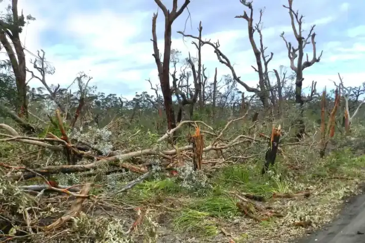
Most reports focus on rainfall. The larger risk to cars and roofs is the large hail and damaging winds Weatherzone says the storms could bring. storm and flood coverage
The temperature swing is large. Sydney is forecast to reach 33°C on Monday, then a maximum of about 20°C later in the week. Southern Australia could be up to 10°C below average on Wednesday and Thursday.
What should I do during a severe hail warning? Standard storm-safety advice is to move vehicles into a garage or under sturdy cover straight away, secure loose outdoor furniture and bring pets inside. Stay away from windows and skylights, unplug sensitive electronics, and do not drive through flooded roads or near fallen powerlines.
Severe thunderstorms are forecast for Sydney and Brisbane on Tuesday, followed by a sharp temperature drop later in the week. Shelter cars, secure outdoor items and follow BoM and SES alerts as warnings are issued. Check back for updates.