Sonali Tiwary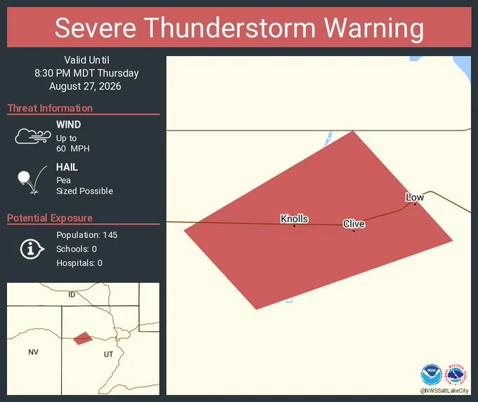
**When Severe Thunderstorms Bring 60-Mph Winds and Hail to Northern Utah**
Desert summers in northern Utah are usually predictable. Hot days, clear skies, occasional evening thunderstorms that pop up and fade. Late August this year was different. A series of severe thunderstorms brought damaging winds, hail and flooding threats across parts of Utah.
On August 27, 28, and 29, the National Weather Service issued repeated severe thunderstorm warnings across Salt Lake, Davis, Weber, Tooele, and surrounding counties. But these weren’t typical thunderstorms. They were spawning dangerous wind systems with wind gusts reaching 60 miles per hour.
What makes these wind systems dangerous? Imagine rain falling from a thundercloud, but instead of just getting wet, the rain drags cold air down with it. When that cold air reaches the ground, it spreads outward. Meteorologically, this creates intense downdrafts that accelerate as they descend.
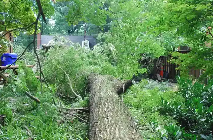
The danger wasn’t just wind. NWS warnings reported quarter-size hail, with one warning listing hail up to 1.5 inches. That’s ping-pong ball size—large enough to damage vehicles, break windows, and crush crops. In Millard County near Lynndyl, the wind was powerful enough to tip over 34 freight rail cars.
Flash flooding presented an equal threat. Rainfall rates hit one inch per hour in some places, with peak intensities reaching two inches per hour in localized areas. That sounds abstract until you consider what it means on the ground: water rising rapidly in canyons, washes filling that had been dry minutes before, and roadways becoming temporary rivers. The National Weather Service issued flash-flood warnings for southern Utah counties, specifically flagging life-threatening flooding potential in Kane and San Juan counties.
For residents along the Wasatch Front, the transportation impact was immediate. I-15, I-80, and canyon roads all faced dangerous conditions. Commuters experienced sudden visibility loss from heavy rain and hail. Emergency responders dealt with disabled vehicles and weather-related crashes.
The atmospheric setup features subtropical moisture interacting with steep elevation changes over the Wasatch Mountains. That collision creates instability in the atmosphere. When you add dry air in the mid-levels of the atmosphere, you get the conditions that produce intense downdrafts.
For people planning to drive through northern Utah or hike in mountain canyons during severe weather season, understanding the difference between a watch and a warning matters. A watch means conditions are right for severe weather to develop. A warning means severe weather is occurring or imminent. When a warning is issued, outdoor activities should stop and people should move indoors.
Northern Utah’s geography makes it vulnerable to these events. Steep canyons channel wind. Burn scars from previous wildfires lack vegetation to absorb rainfall. Highways cut through mountain passes with limited escape routes.