 Sonali Tiwary
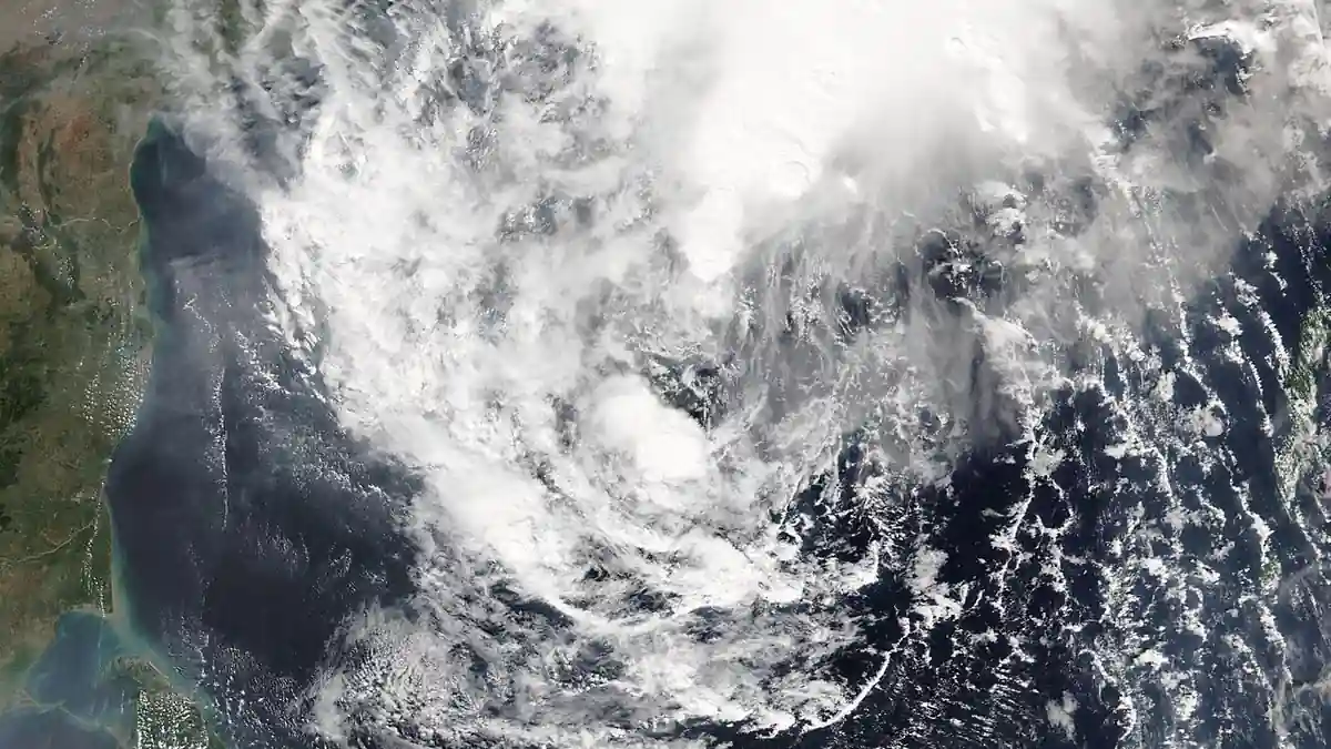
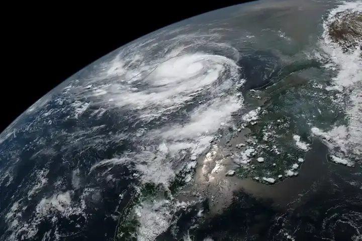
Warning sirens sounded in Gopalpur overnight as Cyclone Akvan shifted track northward, putting southern Odisha directly in the storm’s path rather than the Andhra coast where it was first projected to hit. India Meteorological Department has confirmed Cyclone Akvan landfall time as around noon on Friday, November 20, with destructive winds expected to reach coastal districts several hours before that window.
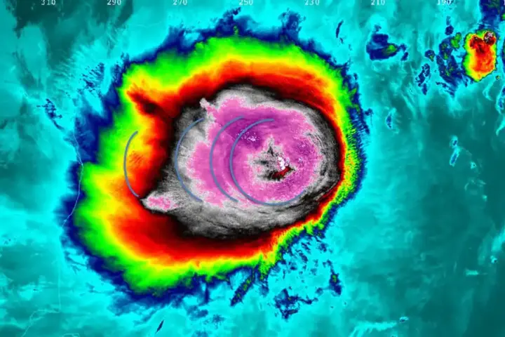
The IMD’s latest bulletin places the crossing between northern Andhra Pradesh and southern Odisha, closest to Gopalpur, with sustained winds of 90–100 km/h. More than 80,000 residents have been evacuated across coastal districts as red alerts remain active in Ganjam, Puri, and Srikakulam. Akvan is the third cyclone to form in the Bay of Bengal in little more than three weeks, following Arnab and Murasu—a rapid succession that forecasters link to sea surface temperatures above 29°C persisting late into the season. IMD Director General Dr. Mrutyunjay Mohapatra confirmed the northeastern track shift from an earlier Kakinada projection during Thursday’s official briefing.
Residents within 5 kilometers of the coastline in Ganjam, Puri, or Srikakulam must reach a designated cyclone shelter before 8:00 PM tonight. Train services on the East Coast Railway corridor have been canceled or rescheduled through Saturday. Power outages and mobile network disruptions are expected from early Friday morning as winds approach 100 km/h ahead of the midday landfall.
Track Shift to Odisha and Agricultural Flood Risk
The storm’s center shifted roughly 100 kilometers northeast over the past 48 hours, moving the primary impact zone. The original Cyclone Akvan landfall tracker documented the initial Andhra-focused path when the storm first organized; the updated track now places the full storm surge on Ganjam, Khordha, and Puri while northern Andhra still faces hazardous but reduced wind exposure.
Over 45,000 hectares of standing paddy along Odisha’s coastal rice belt face irreversible saltwater inundation as the surge converges with high astronomical tides. The Odisha Special Relief Commissioner has opened cyclone shelters to house displaced fishing families, while state disaster funds—already drawn down during Cyclone Murasu earlier this month—face further pressure.
The three-storm clustering within 24 days reflects a broader pattern of late-season oceanic intensification. The formation track of Tropical Storm Isaias in the Gulf of Mexico showed how warm sea basins can sustain rapid successive storm development; in the Bay of Bengal, SSTs holding above 29°C are driving an unusually compressed formation sequence this November.
Akvan’s 90–100 km/h wind speed sits well below supercyclone classification, but conditions on the ground are severe. Murasu saturated Odisha’s coastal soils earlier this month, leaving water absorption capacity at near zero. Forecasters warn that 150 mm of rainfall from Akvan could trigger flash flooding comparable to a much stronger storm—not because of wind speed, but because there is little capacity left in the soil to absorb it.
When will Cyclone Akvan make landfall?
The India Meteorological Department places landfall around noon on Friday, November 20, 2026. The storm is tracking to cross the coast between northern Andhra Pradesh and southern Odisha, with the center making closest landfall near Gopalpur. Sustained winds at the time of crossing are expected at 90–100 km/h, with stronger gusts across coastal areas exposed to the northeastern quadrant of the storm.
Post-landfall damage assessments and East Coast Railway restoration updates are scheduled for Saturday morning. national emergency number 112 and the Odisha state disaster helpline are available around the clock. Coastal conditions are expected to ease by Saturday evening, though inland flooding from saturated catchments may persist into early next week.