 Sonali Tiwary

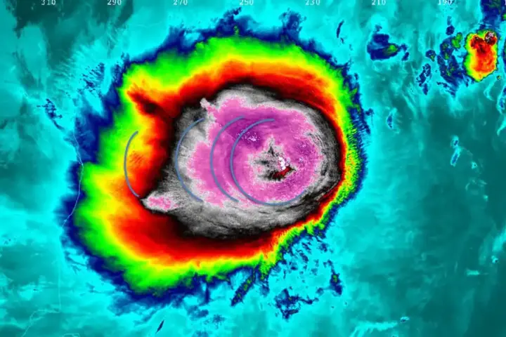
Cyclone Akvan is forecast to make landfall along the Andhra Pradesh–Odisha coast around noon on Friday, November 20, packing sustained winds of 90 to 100 kmph and gusts reaching 110 kmph. The India Meteorological Department has issued red alerts across nine coastal districts as more than 80,000 people have been evacuated in Odisha.
IMD Red Alerts and Landfall Zone
The IMD’s latest Special Tropical Cyclone Advisory places the storm center tracking toward the coastline between Narsapur in Andhra Pradesh and Puri in Odisha, with the highest landfall probability close to the east of Gopalpur.
Red alerts are active for Srikakulam, Parvathipuram Manyam, and Vizianagaram districts in Andhra Pradesh and for Kendrapara, Jagatsinghpur, Puri, Ganjam, Gajapati, and Kandhamal districts in Odisha. The Odisha Special Relief Commissioner has activated 74 rescue teams across all coastal talukas. In Ganjam alone—the district expected to bear the worst impact—36,398 residents have been moved to emergency shelters. Two Vizag-Koraput trains have been cancelled, and approximately 80 fishermen from Kakinada are currently sheltering in Ganjam. AP’s State Disaster Management Authority has pre-positioned rescue boats and relief supplies at district headquarters.
Evacuation Orders, Road Closures, and What Farmers Must Do Immediately
Residents in designated low-lying coastal zones must complete evacuation immediately—roads and causeways across North Andhra and South Odisha will begin to deteriorate by Friday morning and may become impassable before landfall. Power utilities in both states are pre-emptively shutting down coastal grid feeders to prevent electrocution hazards during flooding. Farmers with standing kharif paddy must move harvested grain to elevated threshing floors before 6:00 AM Friday; inundation of unharvested crops is expected to be widespread and total in the lowest-lying fields.
As emergency alert systems across the country have consistently shown, layered official warning networks only protect lives when residents act on bulletins before storm conditions make movement impossible.
Why Cyclone Akvan Is Unusually Dangerous for Late November
Several compounding hazards make this storm exceptionally threatening. The storm is projected to arrive simultaneously with an astronomical high tide, with IMD forecasting 0.5 to 1.0 metres of surge above astronomical tide levels inundating low-lying areas of Ganjam and Puri. The Bay of Bengal’s narrowing coastal funnel concentrates that surge energy inland faster than open-coast systems, and drainage channels across Ganjam remain saturated from a cyclone that struck this exact corridor fewer than 30 days ago—a pattern that shows why pre-funded disaster response structures matter before a storm, not after.
The Flood Risk at Gopalpur That Evacuation Zones May Have Missed
IMD’s hourly track forecast shows the storm center passing close to the east of Gopalpur at tidal peak. This converts ordinary rainfall runoff into a coastal estuary back-flood, pushing saltwater inland through the Rushikulya and Bahuda river mouths. With Ganjam’s drainage channels already compromised from last month’s cyclone, the interaction of surge, tide, and fully saturated catchments elevates inland flood risk well beyond the immediate beachfront—and well beyond what standard storm-track maps convey.
When and Where Will Cyclone Akvan Make Landfall?
Cyclone Akvan is forecast to make landfall along the North Andhra Pradesh and South Odisha coastlines between Narsapur and Puri around noon on Friday, November 20. According to the IMD, the system will pass close to the east of Gopalpur, bringing sustained winds of 90 to 100 kmph, gusting up to 110 kmph.