Karmactive Team
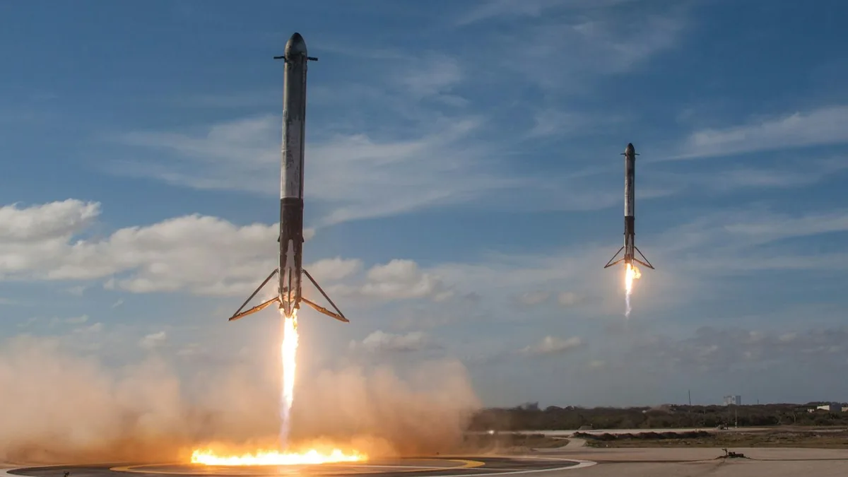
Rocket Lab’s Electron rocket has launched the “Sea God Surveys” mission from New Zealand, carrying a radar satellite for the Japanese company iQPS. Radar can image the ground through cloud and at night, which optical cameras often cannot do under heavy cloud. That matters for disaster planners and anyone tracking floods or storms.
Electron launched from Launch Complex 1 on New Zealand’s Māhia Peninsula. The payload is a QPS-SAR satellite built by iQPS. It carries a 3.6-metre deployable mesh antenna. Its spotlight-mode resolution is about 46 centimetres, which can separate features about half a metre apart. The spacecraft weighs about 100 kg. The satellite was deployed into an orbit about 575 km high. For context on small rockets, see Electron’s launch history.
For disaster management authorities and civil defence planners, radar images can show ground conditions during storms, earthquakes and floods. Radar does not depend on daylight or clear skies. Images could reach planners before aircraft can safely fly over a damaged area, though the timing depends on the satellite’s orbit and tasking. Satellite imagery in flood response shows how this data gets used.
Synthetic aperture radar (SAR) sends out microwave pulses and records the echoes that bounce back. It works a bit like a bat’s echolocation, but it uses the satellite’s movement to build the image. As the satellite moves along its orbit, many returns are combined into one sharp image. That lets a small antenna act like a much larger one, which is where “synthetic aperture” comes from.
The satellite’s light weight is one reason a small rocket such as Electron can carry it.
How does synthetic aperture radar see through clouds? SAR sends out microwave pulses. Clouds, haze and smoke do not block those waves in the way they block visible light. The satellite records the returning echoes and builds an image of the surface, in day or night.
Each launch adds to the group of commercial satellites that watch Earth. For disaster planners, radar can add images when clouds block cameras.