Karmactive Staff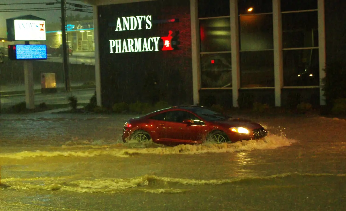
A Sunday morning flood watch became a rescue problem across the Tri-State area before many residents had finished breakfast. New York City had already warned residents in basement and below-grade homes to prepare, while heavy rain later left roads flooded, vehicles stranded and emergency crews responding from Connecticut to New Jersey.
The official city alert said the Flood Watch for New York City ran from 4 a.m. to noon on September 13. The same notice said the greatest flash-flooding risk was expected between 5 a.m. and 10 a.m., with New York City opening 51 safe overnight locations at public schools for people who needed a safer place to stay.
The most important detail was the rain band. NYC Emergency Management said the heaviest rain was forecast just east of the city, where localized totals of 5 to 7 inches were possible across Nassau, Suffolk and southern Connecticut. It warned that a small shift could push that level of risk into eastern Brooklyn and Queens.
By midday, the National Weather Service office in New York said widespread showers were tapering from west to east, but pockets of heavy rain remained across Long Island and southern Connecticut. Its Hazardous Weather Outlook separately kept a Flood Watch in effect for parts of southern Connecticut and southeast New York into the afternoon.
Local reporting documented the next step: flooded streets in New Haven, Stamford, Norwalk, Greenwich, Bridgeport and Westport; highway impacts on Interstate 95 and Route 15; and trapped vehicles in communities including Paterson, Wayne and parts of Bergen County. The pattern resembled earlier regional flood events, including New Jersey flash-flood damage and recent Northeast thunderstorm disruptions covered by Karmactive.
For residents, the lesson was practical, not abstract. A forecast map can look regional, but the danger arrives at street level: a low underpass, a basement stairwell, a blocked drain or a car already halfway into moving water. By early afternoon, the main band was easing, but the same official updates kept the focus on flooded roads, low-lying homes and the narrow difference between a warning and a rescue.