Karmactive Staff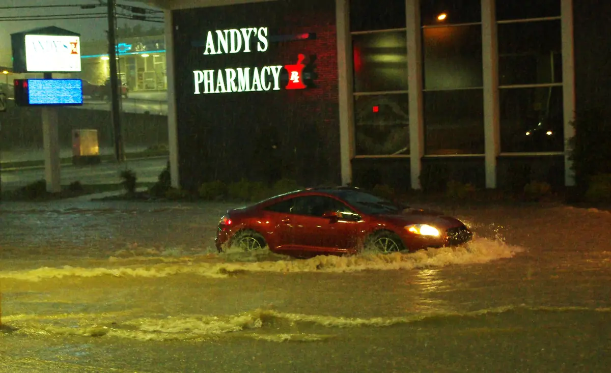
A storm doesn’t need to last all day to turn a familiar road into a hazard. New Jersey is dealing with another round of heavy thunderstorms and serious flash-flood risk this week — and parts of the state are already showing the damage.
The National Weather Service office in Mount Holly issued a flash flood warning early Thursday, September 3. It covered parts of southern New Jersey, southeastern Pennsylvania, and northern Delaware. Within New Jersey, the warning specifically applied to northwestern Burlington County, northwestern Camden County, and northwestern Gloucester County.
The core concern wasn’t just rain — it was the speed of it. Forecasters recorded rainfall rates of roughly half an inch to one inch within just 30 minutes. That kind of rainfall overwhelms stormwater systems before water has anywhere to drain.
This is not a single storm event. The NWS forecast calls for multiple rounds of thunderstorms through Thursday, with additional storms still possible on Friday. After the storms pass, heat and humidity are expected to return.
The damage is already visible. Earlier this week, heavy rainfall caused tributaries of Raccoon Creek to overflow near Mullica Hill in Gloucester County. That flooding undermined the road shoulder of Route 322 at Swedesboro Road, prompting repairs and traffic delays. It’s important to note: the damage was to the shoulder of the road, not a full road collapse. The damage prompted repairs and traffic delays on that stretch. Reported rainfall totals in Camden and Gloucester counties ranged from roughly three inches to more than seven inches in some neighborhoods.
People consistently underestimate flooded roads. Moving water is far heavier than it looks, and a road that appears passable can have seriously weakened ground beneath it. Just six inches of fast-moving water is enough to knock an adult off their feet. Two feet of swift water can float a car. The advice is simple: if a road is flooded, don’t drive through it — even a road you use every day.
The Labor Day weekend forecast is also being watched closely. Anyone with outdoor plans this weekend should monitor NWS updates. Warning boundaries shift as storms develop, so checking the NWS Mount Holly office directly gives the most current picture.
Residents in affected counties should avoid flooded roads entirely, pay close attention to official warnings, and be especially careful after dark, when rising water levels are harder to spot.