 Sunita Somvanshi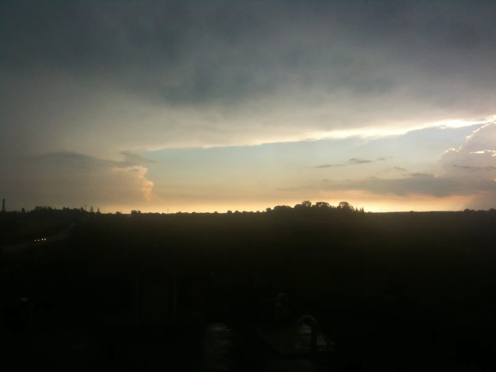
Environment Canada issued a severe thunderstorm watch for Southern Ontario and the Greater Toronto Area on September 2, 2026, with tornado risk included. Conditions can change rapidly during these weather patterns.
The specific hazards Environment Canada identified: wind gusts exceeding 110 kilometers per hour, hail ranging from quarter-sized to ping-pong-ball-sized, and rainfall up to 50 millimeters. Torrential downpours in that range can create localized flooding, particularly in areas with poor drainage. Visibility can drop sharply during heavy rainfall and hail, creating serious driving hazards.
Tornado risk is real during these weather patterns. A watch means conditions are favorable. A warning indicates that severe weather is occurring or imminent and requires immediate protective action. The distinction matters for your response timing.
If you’re driving and a severe weather threat approaches, your options depend on what’s around you and the specific conditions. If a sturdy building is immediately accessible, that’s the place to go. Highway overpasses do not provide adequate shelter in a tornado—they can actually amplify wind speeds and debris. Interior rooms on the lowest floor of a sturdy building, away from exterior windows, offer your best protection. Account for rapid visibility reductions caused by heavy rain and sudden downpours.
The severe weather cluster develops along advancing cold fronts pushing through the region. Environment and Climate Change Canada issues Canada’s weather watches and warnings based on established meteorological criteria.