16:00 GMT – 03/07/2025
Widespread monsoon disruption continues across India with waterlogging reported in New Delhi’s underpasses and key roads, while cities including Chandigarh, Jaipur, and Patna experience heavy downpours causing drainage failures and commuter chaos. In the Northeast, the Ministry of Defence reports severe landslides and communication breakdowns across Mizoram, Arunachal Pradesh, Sikkim, and eastern Bhutan, with the Border Roads Organisation working to clear debris and maintain critical routes.
15:30 GMT – 03/07/2025
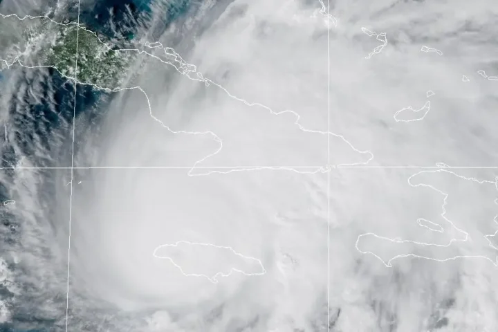
The U.S. National Hurricane Center reports a 60 percent chance of tropical storm development over the next seven days off the southeastern U.S. coast, potentially forming Tropical Storm Chantal between July 4-7. The system poses flood risks to Florida, Georgia, South Carolina and North Carolina with heavy rainfall expected to begin Thursday and continue through Sunday, regardless of whether formal tropical development occurs. Environmental conditions remain only marginally conducive for development.
15:00 GMT – 03/07/2025
The Kedarnath pilgrimage has been temporarily suspended following a landslide at Munkatiya near Sonprayag triggered by heavy rains, with the road completely blocked by debris and stones. Some pilgrims returning from Gaurikund were trapped in the sliding zone but rescued by the State Disaster Response Force. Meanwhile, the Badrinath National Highway remains blocked near Karnaprayag due to heavy debris, while over 20 link roads in Uttarakhand’s Chamoli district have been cut off by landslides.
14:30 GMT – 03/07/2025
India’s Meteorological Department issued multiple severe weather alerts as relentless monsoon rains continue battering the country. In Himachal Pradesh, 11 cloudburst incidents, four flash floods and a major landslide struck on Tuesday, mainly in Mandi district, claiming 13 lives. An orange alert remains in effect for the northern state with flash-flood warnings over the next 24 hours. The IMD forecasts extremely heavy rainfall for East Rajasthan today, while very heavy rainfall is predicted for Himachal Pradesh and Uttarakhand between July 5-7.
12:00 GMT – 03/07/2025
The National Weather Service highlights widespread severe weather threats across multiple U.S. regions, with the Northeast and North Dakota facing strong storms producing damaging wind and hail. Heavy to excessive rainfall warnings are in effect for eastern New Mexico, west Texas, and western Florida, as multiple weather systems converge across the continental United States. Enhanced moisture transport is creating favorable conditions for heavy rainfall and potential flooding across southeastern states.
11:20 GMT – 03/07/2025
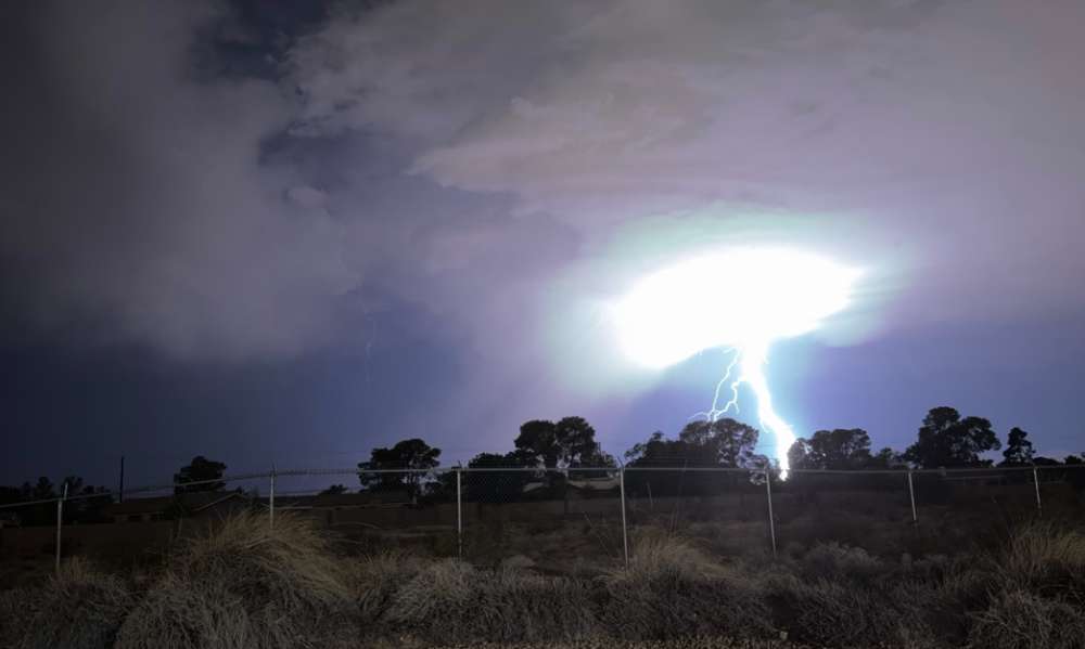
The U.S. Storm Prediction Center has issued a slight risk warning for severe thunderstorms across the Northeast and Northern Plains, with storms capable of large hail, damaging wind gusts, and isolated tornadoes expected to develop later today and into the evening hours between 16:30–00:00 UTC. Scattered storms are forecast to impact Pennsylvania, New York, New England, and North Dakota regions.
06:20 GMT – 03/07/2025
Northern and western China provinces—including Sichuan, Gansu, Liaoning—have been placed on red alert after the plum-rain front triggered flash floods and landslides. Over 1,000 rescue workers remain deployed in Henan’s Taiping area where a burst river killed 5 and left 3 missing, while a landslide in Gansu killed 2 and buried several homes. Rail and air traffic disruptions continue, notably around Beijing, with flood defenses strained and additional rainfall expected through Thursday.
