Karmactive Staff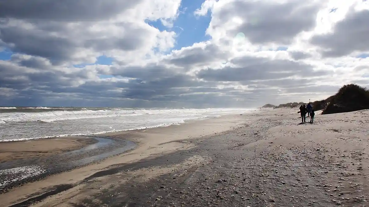
The National Weather Service has listed changing rip current risk for sections of the North Carolina Outer Banks. If you are planning to enter the surf at the Northern Outer Banks or Hatteras Island, check the current NWS surf zone forecast first.
The National Weather Service Newport/Morehead City station classified rip current risk at the Northern Outer Banks and Hatteras Island as moderate on September 17, with life-threatening rip currents possible. Risk levels on the Outer Banks rose to high on September 16 before shifting back to moderate. A low-risk forecast has been issued for Friday. Conditions are changing rapidly. The risk level in effect when you read this may differ from the level at time of publication — check the current NWS forecast directly before entering the water.
The National Weather Service warns that rip currents can sweep even strong adult swimmers away from shore when risk levels rise. Swimmers should stay completely out of the surf while red flags are flying at beach access points. Anyone pulled into a rip current must avoid swimming directly against the flow. Remain calm, float, and swim parallel to the shoreline to exit the current’s path, then return to shore at an angle.
Rip currents are narrow, fast-moving channels of water that pull away from the shore. They do not pull swimmers underwater — they pull swimmers away from land. Exhaustion from fighting the current is the primary cause of drowning.
Check the National Weather Service Newport/Morehead City coastal forecast for updated risk levels before any ocean entry.