Karmactive Staff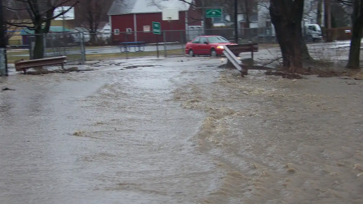
—
September Nor'easter Hits NYC and Northeast: Coastal Flooding, Wind, and What to Do Right Now
The nor’easter is no longer a forecast—it arrived. If you live in low-lying coastal neighborhoods from Staten Island to Boston, the next few high-tide cycles are the highest-risk window, and the flooding mechanics of this storm are different from what most residents expect.
The storm brought 50 to 60 mph wind gusts, 2 to 4 inches of rain, and coastal flood warnings across the New York metropolitan area, coastal New Jersey, and eastern New England. The National Weather Service issued flood advisories for Southern Queens, including Howard Beach and the Rockaways, Brooklyn’s Coney Island and Sheepshead Bay, Staten Island’s South Shore, and Long Island’s barrier island communities. Storm tide readings at The Battery and Sandy Hook gauges tracked departures of 1.5 to 3.0 feet above normal tidal datum during peak high tides, coinciding with September’s full moon, which produces higher-than-average tidal ranges.
If you live in low-lying coastal neighborhoods or near tidal estuaries, move vehicles to high ground immediately and clear basement drains. Never drive through standing water: saltwater can cause severe corrosion and lasting damage to automotive electrical systems and can cause extensive damage to electric vehicle battery systems. Commuters should expect suspended express service on multiple lines, delayed regional trains, and closures on low-lying parkways. Property owners should document pre-existing conditions with timestamped photographs before submitting municipal or private flood claims.
Why This Storm Floods Streets Even After the Rain Stops
This nor’easter is producing a flooding pattern called compound coastal flooding, which differs from the quick surge of a hurricane. When a storm stalls offshore and pushes onshore winds through consecutive tide cycles, coastal bays and estuaries cannot drain between tides. Back-bay systems—Jamaica Bay in Queens, Barnegat Bay in New Jersey—fill up faster than seawater retreats.
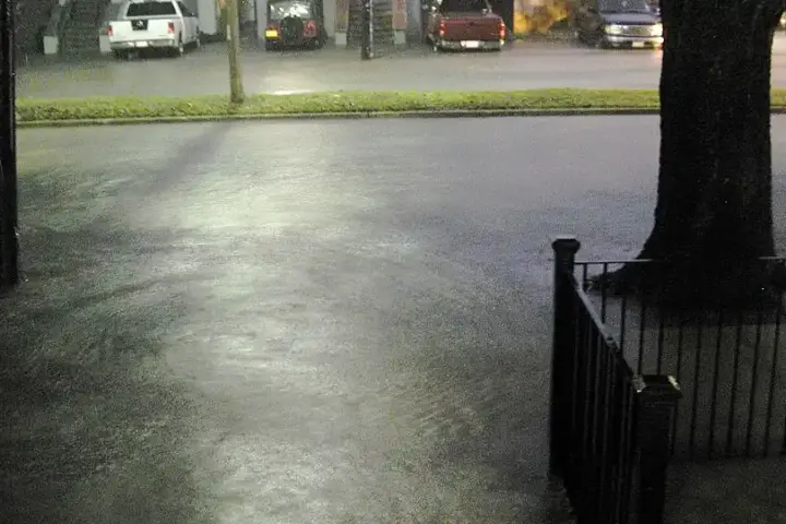
The result: municipal storm drains that normally discharge rainwater into coastal bays have nowhere to push it. Ocean levels remain elevated through what should be low tide, forcing runoff back up through street storm grates. Basement flooding in those neighborhoods can peak well after open-ocean high tide, when trapped seawater and surface runoff converge in drainage canals.
The storm system had been covered extensively in Karmactive’s forecast piece from September 22. What’s new on September 27 is that the system had slowed considerably. National Weather Service Weather Prediction Center data showed the low continuing off Cape Cod, producing prolonged rain across the Northeast through Sunday morning.
JFK, LaGuardia, and Logan airports reported hundreds of flight cancellations and cascading ground delays through Saturday afternoon. The MTA suspended express service on multiple lines. Residents in mandatory flood zones should check NYC Emergency Management bulletins before returning to vehicles left in low-lying parking structures.
Long-term, this event continues a pattern of rising National Flood Insurance Program premiums for coastal homeowners and accelerating wear on aging urban seawall infrastructure. For barrier island communities, each event erodes sand along barrier island beaches, and natural replenishment is slow.
Karmactive will update with official damage assessments when they are released.
—