Karmactive Staff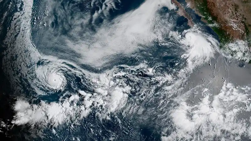
Heavy storms across the UK have delivered record rainfall in concentrated windows, forcing the Met Office to maintain red warnings in multiple regions while emergency services activate high-priority flood response protocols.
The storm system developed over the North Atlantic before tracking into western and central England, producing rainfall totals that exceeded seasonal averages within hours rather than days.
What the Numbers Show
Met Office data confirms rainfall exceeded seasonal averages in affected zones during a concentrated window. Emergency management reports note standard mitigation systems could not activate quickly enough.
Climate attribution studies support a link between intensified rainfall patterns and warming temperatures.
Which UK regions are under red alert? Red warnings remain active in multiple western and central regions. Check the official Met Office warning map for current zones.
Weather systems remain active through the next 48 hours. Monitor official updates.