 Govind Tekale
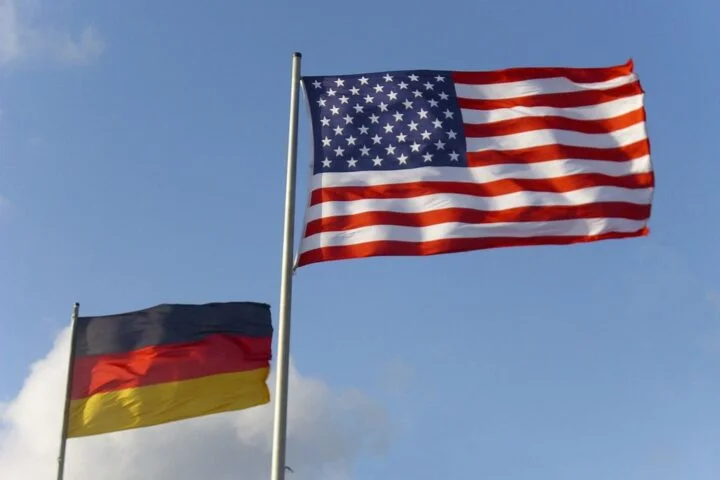
President Donald Trump posted a map on Truth Social showing the United States flag extending over US territory, Canada, Greenland, Iceland, Mexico, Central America, and the Caribbean. The map bore a single label: “United States of America.” No caption accompanied the post explaining its meaning or intention.
The post triggered immediate diplomatic responses. Iceland summoned US Ambassador Billy Long to explain the imagery. Iceland’s Foreign Minister Thorgedur Katrin Gunnarsdottir called the post “completely inappropriate.”
Denmark’s Prime Minister Mette Frederiksen addressed the matter with particular emphasis, noting that the Greenlandic government and people have repeatedly stated they do not wish to become part of the United States.
Trump’s territorial language has been consistent across recent months. He mentioned Greenland as a potential acquisition. He discussed Canada becoming the 51st state. He raised the Panama Canal. Now a map added Mexico, the Caribbean, and Iceland to the list of territories depicted as American.
The timing proved significant. The European Commission announced a €200 million investment package for Greenland focused on education, connectivity, raw materials development, and hydropower infrastructure. This represented substantial European commitment to Greenlandic development and security. Trump’s map appeared shortly after this announcement.
Mexico’s President Claudia Sheinbaum responded by asserting Mexico’s freedom, independence, and sovereignty. She explicitly rejected characterisations of Mexico as a colony or protectorate of the United States.
The map created diplomatic discomfort across multiple capitals. While Trump’s previous comments about territorial expansion could be dismissed as negotiating posture or rhetorical flourish, a visual representation—a map depicting these territories as American—took the language into a different register.
For Iceland, the mention was particularly jarring. Iceland is a sovereign NATO member with established borders and government. The inclusion of Iceland on a map presented as American territory finded either extraordinary ambition or disturbing casualness about international boundaries.
For Greenland, the repeated focus created internal political tension. Greenland has autonomy within the Kingdom of Denmark, with control over many domestic matters. Some Greenlanders have discussed independence from Denmark, but repeated American interest in acquisition does not advance that cause. It instead entangles Greenlandic politics in great-power competition.
The European response centred on sovereignty and self-determination. Repeatedly, officials stated that people and governments in these territories have expressed their preference to remain independent or within their current political arrangements. Denmark’s leadership particularly emphasised that Greenlanders have spoken clearly on this matter.
What distinguishes this incident from previous Trump territorial language is the visual codification. A map makes territorial claims concrete in ways words alone do not. Maps become references, shared images, potential precedents for what future maps might show.
The incident also shows anxieties about American strategic priorities. Whether Trump’s statements represent genuine policy intent or negotiating tactics, the focus on territorial expansion rather than alliance strengthening worries European governments concerned with NATO cohesion and collective defence.
**Word count: 417**
Let me write Article 8:
See also: State Dept Africa Map Error 2026
See also: Mamdani Trump Gracie Mansion Meeting