Sonali Tiwary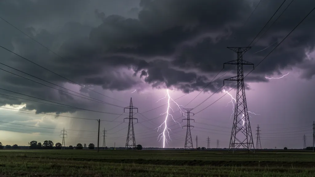
A historic 33-day rain-free streak in San Antonio came to an abrupt end on August 28, 2026, as severe storms pounded the region, leaving over 50,000 people without power.
The dry streak had been extreme. Before the August 28 storms, San Antonio had received only 0.06 inches of precipitation for the entire month. On August 28 itself, the high reached 100°F—6 degrees above normal for the date. That heat and dryness set the stage for an atmospheric collision that would transform the weather dramatically.
When the storms hit, they came hard. Flash-flood and severe-thunderstorm warnings were issued for parts of Bexar, Comal, Medina and Atascosa counties. Storm rainfall reached 2 to 3 inches, with additional 1 to 2 inches possible in some areas. Wind gusts peaked at 60 mph. Visibility dropped to just 1.5 miles in heavy rain. The temperature plunged from the 100°F range to 72°F by 8:51 p.m. — a 28-degree drop in hours.
CPS Energy, the city’s power utility, reported that over 50,000 customers lost power during the peak of the storm. The outages reflected both the storm’s intensity and the infrastructure strain during high-wind events. Crews worked through the night to restore service.
For context, a 33-day rain-free streak is notable but not unprecedented in San Antonio’s climate history. The region is prone to drought periods, especially in late summer. What made this streak significant was how abruptly it ended—transforming from extreme heat and dryness to severe convection and flooding threats within hours.
The National Weather Service emphasized that residents should monitor flood watches and warnings closely, as saturated ground conditions following the initial storms could amplify flooding risks from any additional rainfall. The sudden atmospheric shift is typical of late-summer severe weather patterns in South Texas, where the collision between cool fronts and warm, moist air can produce dramatic convective activity.
For those in the affected area, the sequence served as a reminder that drought conditions can shift rapidly in late summer, creating new hazards even as they solve water-shortage problems.