4:00 PM GMT- 03/07/2025
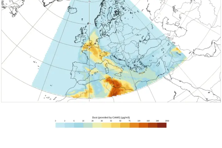
The Meteorological Department of Spain has given active warnings for for rain, high temperatures, storms, winds, and coastal phenomena. Maximum warning level will be orange.
2:00 P.M. GMT- 03/07/2025
The Meteorological Department of France posted on X that 17 departments are on orange alert on today and tomorrow. As of now, Rhône, Savoie, and Haute-Savoie are coming off the orange heatwave alert at 6 a.m. on Friday and moving to yellow alert. Isère will be coming off the orange alert at 10 p.m. on Friday.
After Wednesday’s storms and the shift in airflow to the west, the air is becoming more breathable across much of the country. Only the Mediterranean and Rhône-Alpes regions are experiencing very high temperatures. Today afternoon, maximum temperatures peaked around 37°C to 38°C in the interior of the Mediterranean regions, while the heat would be somewhat reduced compared to Wednesday in the Rhône-Alpes region (30°C to 33°C).
11:30 AM GMT – 03/07/2025
Australia experienced warmer-than-average temperatures in June 2025, with the national mean temperature sitting 0.29°C above the long-term average. Western Australia felt the heat most strongly, recording its seventh-warmest June maximum temperatures since records began in 1910, while much of eastern Australia shivered through unusually cold nights. Queensland and the Northern Territory saw their lowest June minimum temperatures since 2012, with some locations recording frost and sub-zero readings rarely seen in these regions.
Rainfall fell short across most of the continent, with the national total 36% below the long-term average. Western Australia and New South Wales were particularly dry, while Victoria bucked the trend with 16% above-average rainfall. Several cold fronts brought wintry conditions to southeastern Australia between June 22-25, delivering widespread rain, damaging winds exceeding 120 km/h in some areas, and heavy snowfall to alpine regions. Meanwhile, parts of northeastern Queensland received unusual June rainfall, with some stations recording more than double their typical monthly totals.


