 Govind Tekale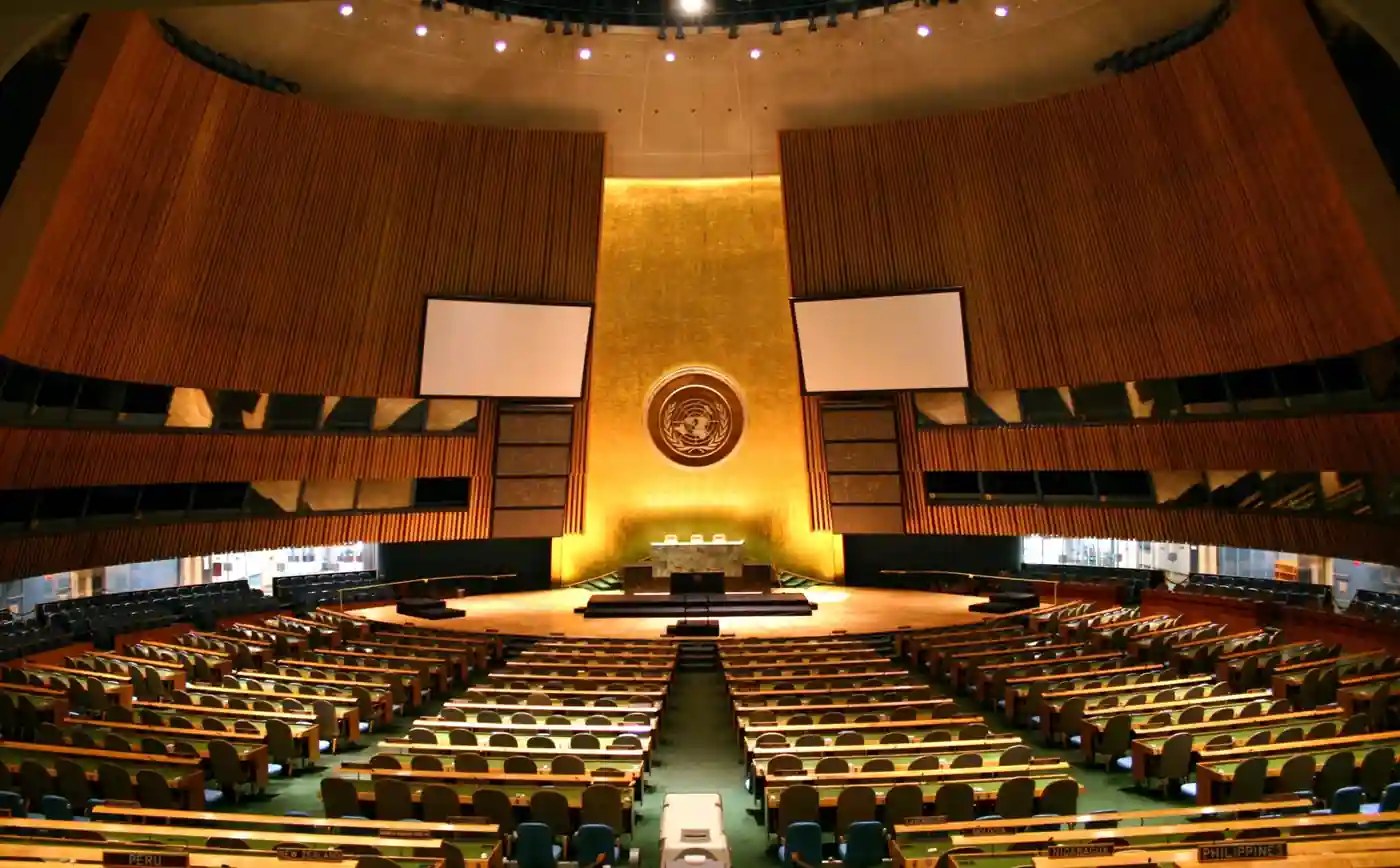
On September 4, 2026, the United Nations General Assembly voted 164 to 1 on a resolution titled “Correct the Map.” The only country to vote against it was the United States. Six countries abstained.
So what did 164 nations just agree to? Not quite what many headlines have said.
The resolution does not ban the Mercator map. It does not make every school atlas illegal. It does not physically change how large Africa is. What it does is encourage countries, international institutions, educational systems, and digital mapping publishers to use equal-area map projections — specifically naming the Equal Earth projection as one example — so that the relative sizes of continents are shown more accurately. For background on why the issue keeps returning, see Karmactive’s Africa map error coverage, and the Equal Earth projection page for the projection itself.
Togo’s Foreign Minister Robert Dussey introduced the resolution on behalf of the African Group, with the African Union’s backing. The core concern is that the map most people have seen their entire lives — the Mercator projection — makes Africa look much smaller than it is.
Here is why that happens. The Mercator projection was designed in 1569 by Flemish cartographer Gerardus Mercator. It was built for navigation — it preserves compass directions and straight-line bearings, which made it invaluable for sailors. But to do that on a flat surface, it stretches land area near the poles. The further from the equator you go, the bigger things look. Greenland, which sits near the Arctic, appears almost the same size as Africa on a Mercator map. In reality, Africa covers roughly 30.37 million square kilometers — large enough to fit the continental United States, China, India, Japan, and most of Europe inside it simultaneously.
The Equal Earth projection was created in 2018 by cartographers Bojan Šavrič, Tom Patterson, and Bernhard Jenny. It is an equal-area projection, meaning it preserves relative land sizes accurately. It was published in the International Journal of Geographical Information Science. It is not a perfect map — no flat world map is. Every projection makes trade-offs, and Equal Earth does not preserve angles the way Mercator does. The point is not that one map is right and the other is wrong. Different projections exist for different purposes. Equal Earth is better for showing relative size. Mercator remains widely used for navigation and nautical charting.
The US delegation voted against the resolution, arguing that the General Assembly’s time is better spent on security, humanitarian crises, and economic challenges rather than what it called an ideological agenda framed as a technical fix.
Ukraine was one of the six abstaining nations. Its concern was specific: certain digital implementations of Equal Earth display Russian-occupied territories in ways that conflict with Ukraine’s territorial positions. That is a real political complication — even a geographically “accurate” equal-area map can carry political implications depending on how borders are drawn on it.
In response, Ireland spoke on behalf of the European Union, clarifying that the resolution applies only to how land areas are proportionally represented. It carries no legal authority over national borders, territorial sovereignty, or internationally recognized boundaries.
The other five abstaining nations were Estonia, Georgia, Lithuania, Moldova, and Serbia.
The resolution passed at the 114th plenary meeting of the 80th General Assembly session. Its official designation is A/80/L.104.
What happens now? The resolution encourages change — it does not mandate it. Google Maps is not required to switch. School textbooks are not ordered to swap projections overnight. But it gives international weight to an argument that cartographers and geographers have been making for decades: the map on most classroom walls does not show the world at its actual scale.
That is not a claim about politics. It is a claim about geometry.
Related coverage: Great Lakes Water Management Us Canada Treaty; Lake Powell Record Low Colorado River Water Crisis