Karmactive Staff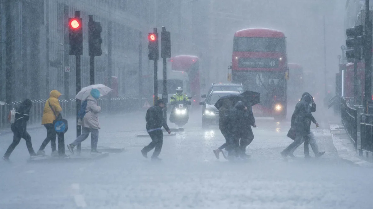
Wet and blustery conditions are forecast across the UK this weekend, with the Met Office issuing yellow warnings for rain and wind across western England, Wales, and Scotland. Localised surface water flooding is possible in lower-lying areas, and travel disruption is expected on major road and rail corridors through Saturday morning.
Plan outdoor events for Friday afternoon if possible. Travellers heading north or west on Saturday should check National Rail and road conditions before setting off. Sunday is expected to bring gradually improving conditions across southern and eastern areas, though western Scotland and Northern Ireland remain unsettled through the weekend.
Where the Rain Will Be Heaviest
The wettest conditions are expected across Wales, southwest England, Northern Ireland, and western Scotland, where persistent rain and strengthening winds are forecast from Friday evening through Saturday afternoon. Yellow warning areas are particularly vulnerable to surface water accumulation on roads and disruption to local bus services.
Central and eastern England are forecast to remain drier but are not fully clear, with passing showers possible on Saturday. London and the Southeast should see the most settled conditions of the weekend.
Temperatures and Wind
Temperatures will sit below average for mid-September, ranging from 13°C to 17°C across most of England. Northern Scotland will be cooler at 10°C to 13°C. Wind speeds in warning areas could reach 40 to 50 mph on exposed western coasts and hillsides.
Check the Met Office website for the latest forecast before travelling this weekend, as warning areas and timing may be updated.