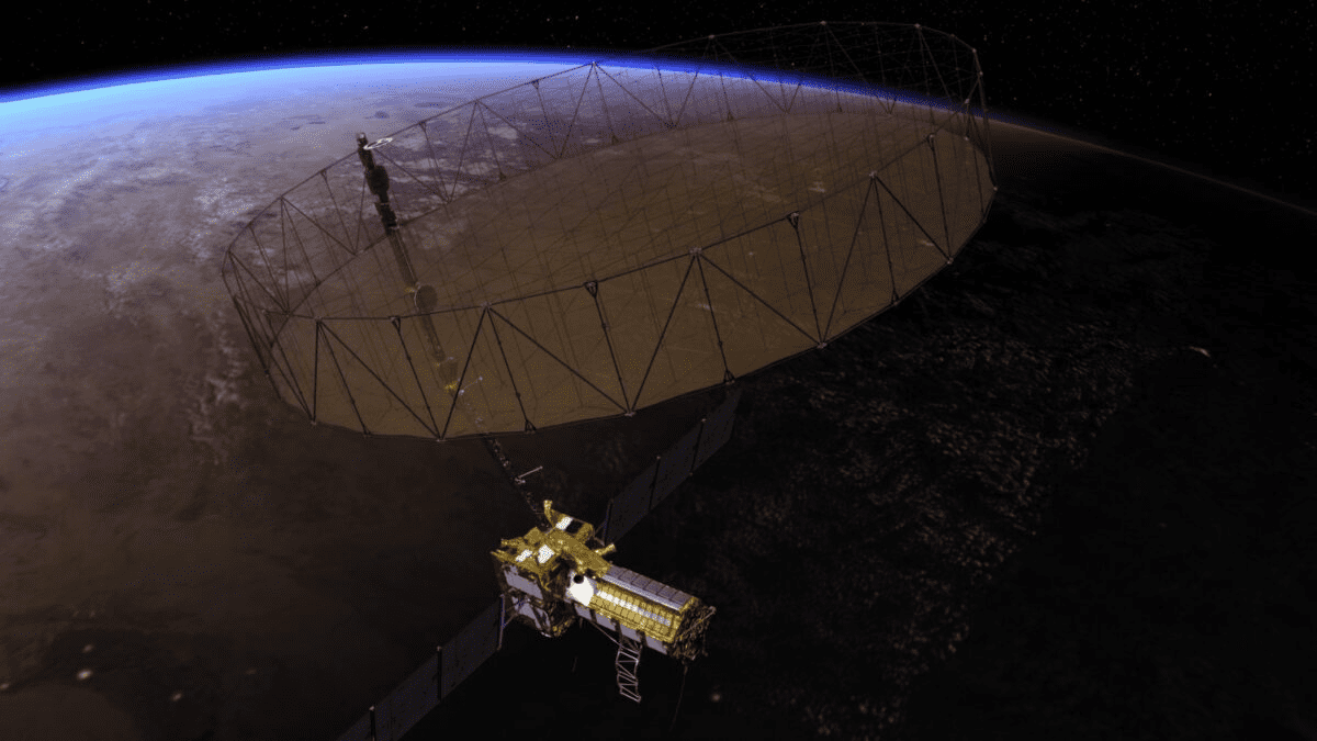
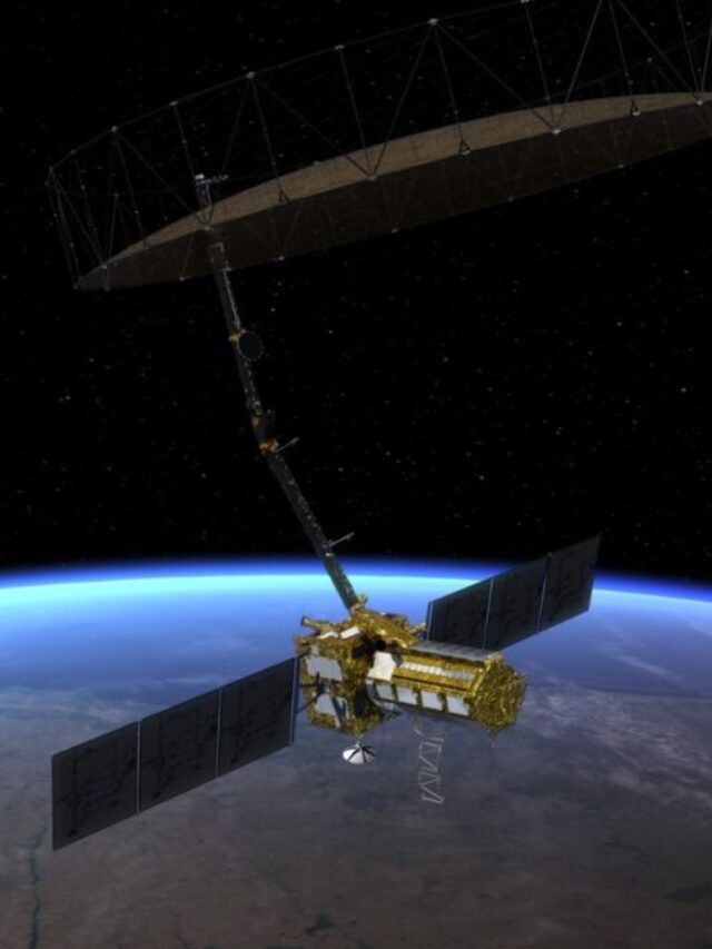
The payload of the world’s most expensive Earth-Imaging satellite, NASA-ISRO Synthetic Aperture Radar (NISAR), landed in India after a US Air Force’s C-17 aircraft touched down in Bengaluru from California on Wednesday. The arrival of the payload signals a key milestone in US-India relations in space collaboration.
NISAR is scheduled to be launched in January next year from Sriharikota towards a near-polar orbit and will be operational for a minimum of three years. ISRO will launch NISAR, claimed to be the world’s most expensive Earth-imaging satellite, in January 2024, which costs an estimated $1.5 billion.
NISAR will be the first radar of its kind, which will map the Earth using two microwave bandwidth regions called L-band and S-band. The L and S dual band Synthetic Aperture Radar (SAR) payloads will be mounted on an Integrated Radar Instrument Structure (IRIS) which together functions as an observatory.
It will have the capability to map the whole globe in 12 days and can even detect changes under one centimeter across. NISAR’s collection of data will clarify information about the evolution and state of the Earth’s crust and help scientists understand the planet’s natural processes and changing climate. NASA and ISRO together envisioned the project eight years ago, to demonstrate the powerful capabilities of radar as a science tool and favor the study of Earth’s dynamic land and ice surfaces.
Under the agreed terms in 2014, NASA will provide the mission’s L-band SAR, a high-rate telecommunications subsystem for scientific data GPS receivers, a solid-state recorder, and a payload data subsystem. ISRO will be providing the satellite bus, the S-band SAR, a launch vehicle (GSLV Mk II), and the required launch services.
NISAR data will also be help improve agriculture management and maintain food security by providing information about crop growth, soil moisture, and land-use changes. The satellite will help with emergency warnings by spotting signs of imminent volcanic eruptions, monitoring groundwater supplies, tracking the melt rate of ice sheets tied to sea level rise, and observing fluctuations in the distribution of vegetation around the world.
- Native Australian Bee Honey Works Against Germs Even After 18 Years When Regular Honey Fails
- Moving Diesel Car Exhausts to Right Side Could Cut UK Pavement Pollution by a Third
- 🔴 LIVE Extreme Weather Alert Central: China Floods, India Monsoon, US Storms
- 7 Missing After California Fireworks Warehouse Explosion Ignites 80-Acre Blaze
- China Bat Study Reveals 20 New Viruses with 71% Genetic Match to Fatal Nipah and Hendra Pathogens
The first 90 days preceding the launch will be allocated for in-orbit checkout (IOC), where the observatory will be prepared for science observations. The NISAR project could make a significant contribution to the fields of environmental monitoring, natural disaster management, and resource management.


