 Sunita Somvanshi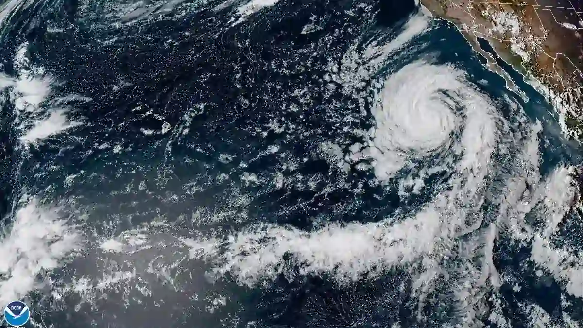
Hurricane Polo became one of the strongest storms ever recorded in the eastern Pacific on September 22, 2026. If you’re along Mexico’s Pacific coast or tracking the storm’s path, here is what the official forecast says right now — and what it means for the coastline south of Zihuatanejo.
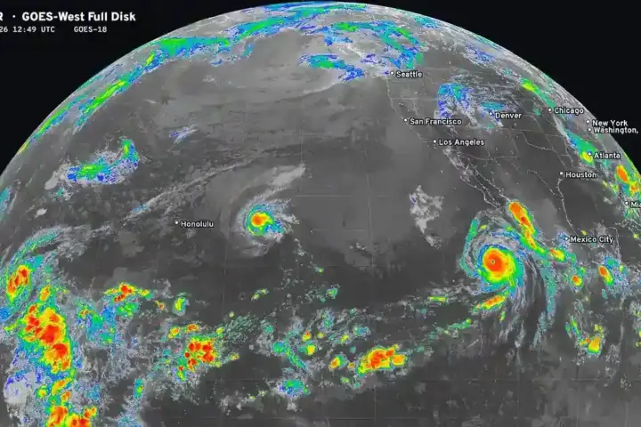
The National Hurricane Center recorded Polo with 180 mph sustained winds and a central pressure of 892 millibars at its 3 p.m. advisory on September 22. The storm was located approximately 215 miles south-southwest of Zihuatanejo, Mexico. NHC placed Polo at roughly 14.6°N, 101.5°W, and the storm was moving very slowly — nearly stationary at the time of the afternoon advisory. A tropical storm warning was in effect for portions of Mexico’s Pacific coast.
Tropical storm conditions — damaging wind gusts, heavy rain, and dangerous surf — were expected along Mexico’s warning area even with Polo’s core remaining offshore. Because the storm was barely moving, those conditions along the coast could persist far longer than they would with a faster storm. Anyone in the warning zone should not wait for a direct landfall forecast to act. Follow local emergency management guidance now and check the latest NHC advisory before making any travel or shelter decisions.
How Fast Did Polo Strengthen?
Polo’s strengthening rate was extraordinary. NHC’s own discussion documented roughly 90 knots — about 104 mph — of intensification over 24 hours. To put that in context: a storm is officially classified as “rapidly intensifying” when it strengthens by 35 mph in 24 hours. Polo did nearly three times that in a single day.
At 3 a.m. on September 22, NHC had Polo at 150 mph — already a strong Category 4 storm. By 6 a.m. the same day, the storm crossed the Category 5 threshold. By 3 p.m., it reached 180 mph. That timeline, from 150 mph to 180 mph in 12 hours, makes Polo’s intensification one of the fastest on record in the eastern Pacific.
The 892 mb central pressure reading is also significant. Pressure in a hurricane is inversely related to strength — the lower the pressure, the more powerful the storm. A reading below 900 mb puts Polo among a small number of historically intense Pacific hurricanes.
NHC’s September 22 forecast kept Polo’s center offshore but noted tropical storm conditions were expected along part of Mexico’s coast. The storm’s near-stationary position made the precise track uncertain. As Polo eventually begins moving, the direction and speed will determine how much of the coast faces prolonged exposure to its outer bands. For the broader hurricane season picture across both the Atlantic and Pacific, additional systems were being monitored at the same time.
Will Hurricane Polo hit Mexico?
NHC’s September 22 forecast kept Polo’s core offshore, but tropical storm conditions were expected along the warning area of Mexico’s Pacific coast. Because the storm was moving very slowly, coastal impacts could last longer than usual. The forecast track can shift. Check the National Hurricane Center at nhc.noaa.gov for the latest advisory before making any decisions.
Polo’s track and intensity will continue to be updated every six hours by NHC. The storm’s next movement — whether it drifts toward or away from the coast — will be the most important factor to watch. Check back here for updates as new official NHC data is released.