A powerful weather system known as a “bomb cyclone” is bearing down on New South Wales, with authorities warning residents to prepare immediately for potentially dangerous conditions expected to peak on Tuesday and Wednesday.
The Bureau of Meteorology (BOM) has issued severe weather warnings as the low-pressure system rapidly intensifies off the coast, a process meteorologists call “bombogenesis.” This term describes a weather system that forms very quickly, with pressure dropping significantly in a short period.
“This is a severe weather warning for a deepening low-pressure system that will affect a large portion of the NSW coastline,” said BOM Hazard Preparedness Manager Steven Bernasconi. “There is a risk of flash flooding due to the short duration of heavy rain.”
Sydney could be drenched with 50 to 90mm of rain on Tuesday alone, with wet conditions continuing through Wednesday. The Mid-North Coast faces even heavier rainfall, with some areas potentially receiving up to 300mm. Widespread rainfall totals between 50 to 120mm are expected along the coast, with isolated pockets possibly seeing up to 200mm.
Alongside the heavy rain, damaging winds with gusts reaching 100 kilometers per hour are forecast for coastal areas from Coffs Harbour to Batemans Bay. The combination of wind and rain creates a significant risk of property damage and dangerous conditions.
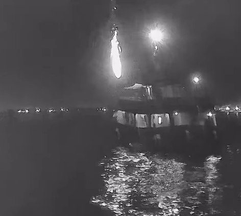
Powerful waves of five to six meters are expected to pound the coastline, prompting hazardous surf warnings from Port Macquarie to Batemans Bay. Authorities are strongly advising against rock fishing, swimming, or boating during this period.
Similar Posts
The heaviest impacts are expected to hit the Hunter and Illawarra regions on Tuesday and Wednesday as the system tracks slowly southward along the NSW coast.
BOM Senior Meteorologist Angus Hines said the low-pressure system would “drench and batter” parts of the state throughout Tuesday, with conditions intensifying as the day progresses.
The NSW State Emergency Service has activated all 11,000 of its volunteers in preparation for the severe weather and deployed high-clearance vehicles and helicopter assets to potentially affected areas.
“We need you to prepare so that you don’t need us to respond to you,” said SES Deputy Commissioner of Operations Debbie Platz. “Clean up around your home, have an evacuation plan ready, have your emergency kits ready, and please communicate with family, friends, and check on your neighbors.”
SES Acting Assistant Commissioner Allison Flaxman emphasized the risks of property damage from destructive winds and flash flooding: “Be alert today so you’re safe tomorrow, by understanding your risk and planning what you will do and where you will go if you are impacted.”

Forecasters note that the situation is complicated by the presence of two low-pressure systems that may interact with each other, making precise predictions challenging. The weather system is drawing energy from unusually warm waters in the Coral Sea and Tasman Sea.
Residents in affected areas are urged to secure loose items around their homes, clean gutters, prepare emergency kits, monitor official updates, and avoid unnecessary travel during the peak of the storm.