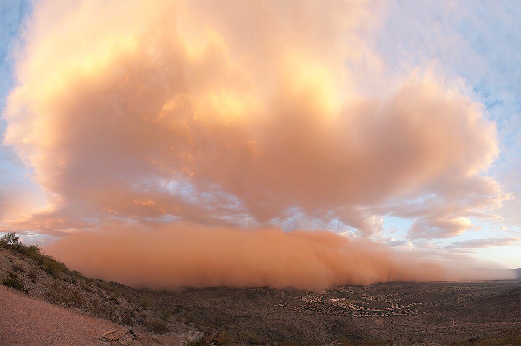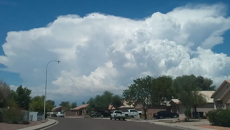
Slow-moving storms are bringing heavy rain to parts of the Southwest US today, while many regions in India face weather alerts as monsoon conditions intensify in different parts of the globe. Flash flood watches are now in effect for thousands of residents in Arizona and New Mexico, with officials urging extreme caution.
According to the National Weather Service (NWS) Flagstaff, additional showers and thunderstorms are expected through the week with increasing flash flooding potential, especially in recently burned areas.
Today’s Rain Forecast: Where and When
NWS flood watches cover portions of Arizona and southeastern California, including Imperial County (California), Central La Paz (Arizona), and Sonoran Desert National Monument starting from 1 PM MST/PDT today through evening, according to a flood watch issued by NWS Phoenix. The primary concern: high atmospheric moisture content combined with slow-moving storm cells that can drop substantial rain in short periods.
In India, the Meteorological Department (IMD) has placed Mumbai under a yellow alert as of August 26, 2025. Earlier in the month (August 18-19), several districts including Raigad had been under red alerts, while others like Palghar, Sindhudurg and parts of Konkan were under various alert levels as the monsoon trough remained south of its normal position.
For drivers in affected areas, water-covered roadways pose immediate danger. According to NWS flood safety guidance: “Turn Around, Don’t Drown” – just 6 inches of moving water can knock over an adult, while 2 feet (24 inches) can carry away a car.

Tomorrow and Midweek Outlook
While some US regions will see slightly cooler temperatures tomorrow, flood risks remain elevated through midweek. A second flood threat looms for Wednesday (August 27) as atmospheric moisture persists across the Southwest.
In India, the IMD forecasts continued heavy rainfall across multiple states as low-pressure systems drive widespread precipitation. The most recent alerts show varying levels of rainfall expected across Maharashtra and neighboring states.
The Science Behind This Year’s Monsoon Intensity
The North American Monsoon typically runs mid-June through late September, delivering up to 60% of annual rainfall to some Southwest counties. Climate data shows concerning changes in precipitation patterns.
According to the U.S. Global Change Research Program, extreme precipitation events are increasing in frequency and intensity as warmer air holds more moisture. The Fifth National Climate Assessment shows that since 1958, heavy precipitation events have increased 60% in the Northeast and 45% in the Midwest regions of the United States.
What makes current conditions particularly dangerous is soil saturation. The IMD Flash Flood Guidance Bulletin has reported watersheds with soil saturation levels reaching 85-99% in areas of concern – meaning even moderate additional rain can trigger flooding because the ground cannot absorb more water.
Flash flood warnings have become increasingly common in 2025, with Arizona alone recording 59 flash flood warnings so far this year, according to Axios Phoenix.
Staying Safe During Heavy Rain
For those in affected areas, road safety authorities and local traffic agencies recommend maintaining greater following distance while driving, avoiding sudden braking, and staying in middle lanes to reduce hydroplaning risk.
Emergency management officials suggest keeping essential items handy: torch, power bank, first-aid kit, drinking water, rain gear, and vehicle documents.
The repeated flooding cycles also strain infrastructure. Roads, bridges, and drainage systems face accelerated damage, increasing repair costs and downtime in affected communities.
Current Status
Multiple regions remain under flood watches with heavy rain expected in coming days, and residents are urged to follow official safety guidance.