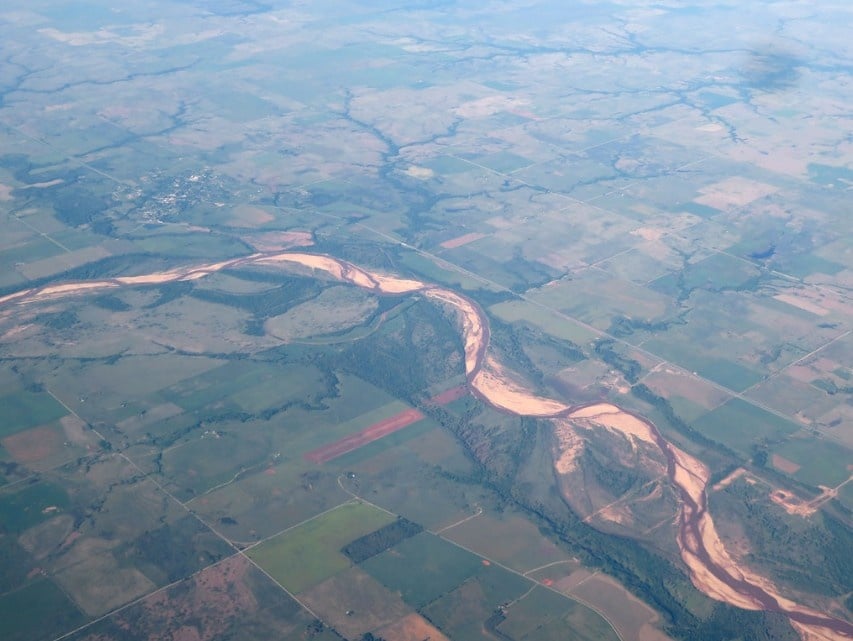
Oklahoma’s record April deluge has the Red River raging and poses serious challenges for the I-35 bridge construction on the Texas-Oklahoma border.
The April 2025 rains shattered Oklahoma’s 83-year rainfall record with a statewide average of 8.74 inches, surpassing the previous mark of 8.32 inches set in 1942. This unprecedented rainfall has transformed the normally manageable Red River into a powerful torrent impacting infrastructure along the border.
Current water levels are being closely monitored at multiple gauge stations along the river. At the Shreveport gauge, levels reached 25.18 ft on May 5 and are forecast to crest around 25.6 ft by May 9 — just below the 26 ft action stage and well under the 30 ft minor flood threshold.
Construction equipment left in the riverbed at the I-35 bridge site is now submerged, with floodwaters nearing the existing deck, as reported by Oklahoma Energy Today and Construction News Insider. This $480 million joint project between ODOT and TxDOT is critical to regional connectivity.
Upstream reservoir management plays a key role during such events. Release data from the U.S. Army Corps of Engineers show Lake Lawtonka with two gates at 6 inches each and Ellsworth with four at 6 inches, a combined discharge of roughly 2,400 cfs.
Tim Gatz, ODOT Executive Director, highlighted that traffic volumes will grow from 150,000 daily crossings today to “a projected 1.4 million in 20 years,” underscoring the bridge’s importance.
Similar Posts
This flood event unfolds in a region with notable flood history. The Red River’s all-time record at Shreveport—45.9 ft in August 1849—is drawn from NOAA historical archives , with more recent crests of 37.14 ft (June 2015) and 37.10 ft (February 1950) documented in NWS reports.
The new I-35 span is built for resilience, featuring drilled-shaft foundations, a minimum 2 ft freeboard above the 100-year flood elevation, and riprap scour protection – details specified in ODOT/TxDOT design documents.
The full six-lane widening on the Oklahoma side alone carries a projected cost of $2.5 billion, highlighting the economic stakes of this NAFTA corridor.
Climate research indicates that heavy-rain probability in the Southern Plains has increased 10–40% since 1960 due to a warmer atmosphere.

The human impact has been dire. Flash floods claimed multiple lives in Pottawatomie and Lincoln counties during late April storms, with rescues performed in Lexington and Blanchard.
NOAA Shreveport’s 5-day forecast discussion warns, “An upper-level trough may produce 2–4 inches of additional rain mid-week, exacerbating river rise,” highlighting ongoing risk. This record rainfall demonstrates how water management, transportation infrastructure, and community safety intersect when extreme precipitation tests watershed resilience — underscoring the need for engineering precision and interagency coordination.