Navi Mumbai’s ₹16,700 Crore Wetland Airport Faces Flood Risk Engineers Can’t Ignore
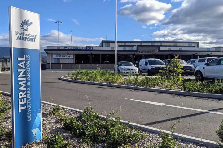
Prime Minister Narendra Modi will inaugurate the airport on October 8. Located in Ulwe, about 37 km from South Mumbai, the first phase includes Terminal 1 with capacity for 20 million passengers annually and 0.8 million metric tonnes of cargo. A 3,700-meter runway is in place, with future plans to scale to 90 million passengers per year by 2036. (Facts via NMIA and project materials.)
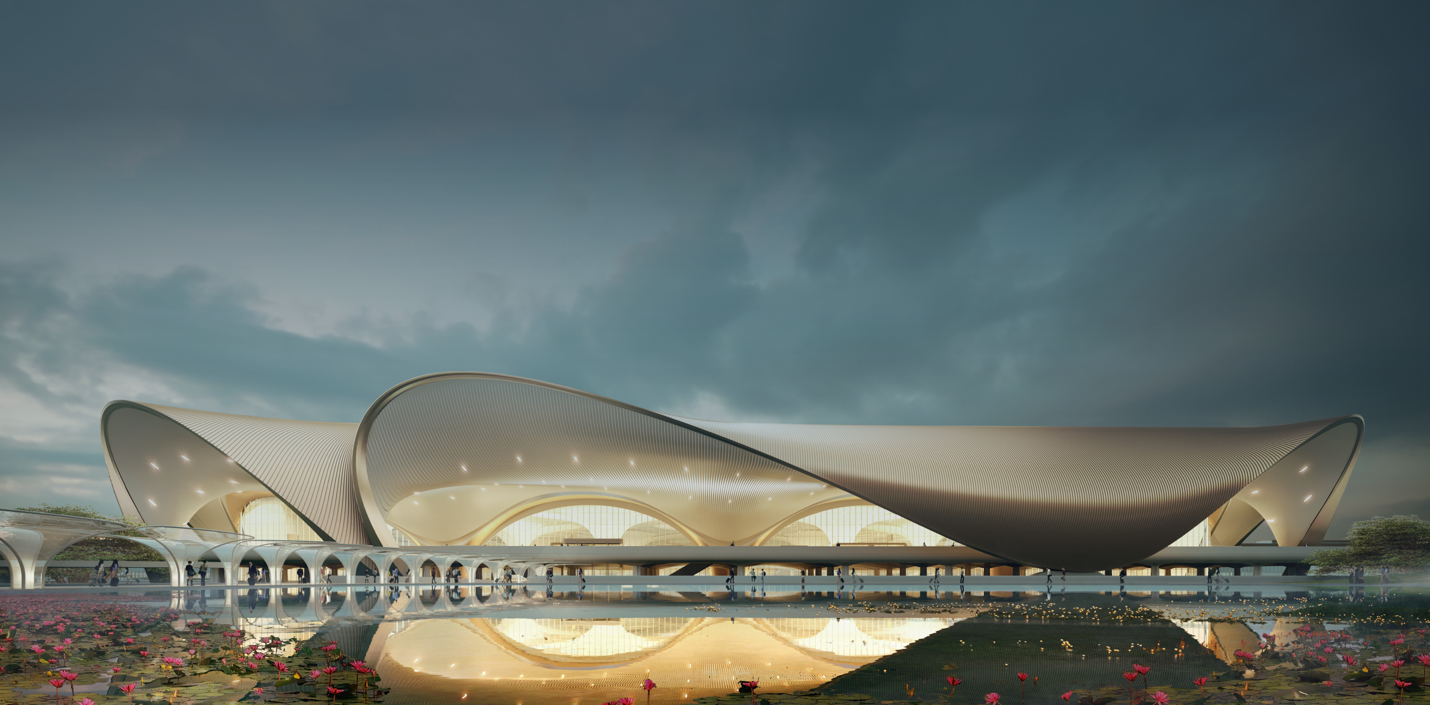
Design: Zaha Hadid Architects — lotus-inspired terminal with sculptural and mega columns engineered for seismic, wind and load conditions.
Connectivity: Shuttle buses are planned from Belapur, Seawoods and Nerul. The Ulwe coastal road is expected to provide direct access; the Amra Marg cloverleaf functions in the interim. (Project notes.)
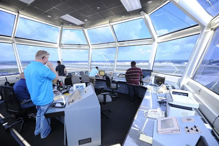
Official note: “The airport will be operational from December,” said CIDCO VC & MD Vijay Singhal via Akashvani/Prasar Bharati.
The airport is being built on reclaimed land where mangroves existed earlier; such terrain can be prone to flooding and subsidence. The design uses sculptural and mega columns, and roof canopies engineered for seismic and wind loads.
Building a runway on reclaimed wetlands
The Navi Mumbai International Airport construction site requires approximately 2,900 hectares of coastal land in Ulwe, positioned 35 kilometers from Mumbai’s existing airport. The project encompasses 1,160 hectares for core airport development. The terrain presented substantial challenges, with large portions of the site remaining low-lying and waterlogged, particularly through 2017.
Construction crews raised ground levels between 2 to 5 meters across parts of the site through earthwork operations. The project required processing fill material to elevate waterlogged terrain above flood-prone elevations. Environmental assessments documented plans to reduce the Ulwe hill height from 90 meters to 10 meters, though the full extent of this work remains under evaluation.
Rivers bent, wetlands buried
Two river systems—the Ulwe and Gadhi rivers—face rerouting as part of construction. Plans include diverting the Ulwe River by 90 degrees from its original channel. Environmental critics note this pattern mirrors modifications made at Mumbai’s existing airport, where river diversions contributed to flooding vulnerabilities.
The site contained over 100 hectares of mangroves and 400 hectares of mudflat ecosystems before construction commenced. Some environmental assessments reference 162 hectares of mangroves and 404 hectares of mudflats within the impact zone. These coastal wetlands functioned as sediment traps and tidal buffers, with mangrove root systems creating substrate layers that absorbed storm surges.
Mumbai lost approximately 40% of its mangroves between 1991 and 2001—roughly 9,000 acres according to studies using remote sensing data. One research study documented a 39.32% decrease in mangrove area around the Mumbai suburban region during this period, with 36.54 square kilometers lost. Mangroves store substantial carbon in their biomass and soils, functioning as highly carbon-dense ecosystems. Mangrove forests also support coastal resilience.
July 26, 2005: When airports became swimming pools
Mumbai’s existing airport experienced complete operational shutdown for over 30 hours during the July 26, 2005 monsoon event. The Indian Meteorological Department station at Santacruz recorded 944 millimeters of rainfall within 24 hours—among the highest single-day precipitation totals in Mumbai’s meteorological records.
Water depths across airport runways reached levels that submerged instrument landing system equipment. The Mithi River flooded as discharge exceeded capacity. Environmental reports noted that airport expansion had required temporary river diversions with sharp bends during bridge construction for taxiway extensions, which critics argued constrained flow capacity.
Concrete replaces sponges
The Bandra-Kurla Complex occupies former Mahim Creek wetlands. During the 2005 deluge, this commercial district experienced severe flooding. The wetlands previously absorbed monsoon runoff through permeable soils—soil structures eliminated during land reclamation operations that replaced them with compacted fill and impervious surfaces.
The facility plans terminal buildings totaling 250,000 square meters and cargo facilities spanning 100,000 square meters. Initial operating capacity targets 50 to 55 million annual passengers, with infrastructure designed for eventual expansion beyond 60 million passengers. Project costs reached ₹16,700 crore under the design-build-finance-operate-transfer framework managed by Navi Mumbai International Airport Limited, a partnership between Adani Airports Holdings and Maharashtra’s City and Industrial Development Corporation.
Where water wants to go
The airport sits in coastal terrain where multiple water bodies converge—two major rivers, ponds, and tidal creeks that drain substantial catchment areas. Monsoon rainfall across this watershed concentrates discharge volumes that previously dispersed through wetland systems now replaced with compacted runway subgrade and terminal foundations.
Mumbai airports experienced operational disruptions during heavy rainfall events. On September 19, 2017, a SpiceJet flight from Varanasi overshot runway 27 while landing in heavy rain and got stuck in mud. The main runway remained closed for over 24 hours, forcing diversions and cancellations. Similar incidents occurred in July 2019 when another SpiceJet flight from Jaipur overshot the main runway during monsoon conditions.
The engineering gamble
Construction on the Navi Mumbai site required extensive foundation work to stabilize ground conditions. Swampy substrates and saturated soils necessitated ground improvement techniques before runway pavement installation could proceed. One environmental assessment estimated pre-construction earthworks costs at ₹2,345 crore.
The terrain characteristics—waterlogged soils, high water tables, tidal influence, and monsoon loading—created conditions requiring mitigation through imported fill material, subsurface drainage systems, and engineered foundations. As of December 2017, large areas of the site remained underwater, leading environmental experts to question the long-term stability of building aviation infrastructure on such terrain.
This airport development occupies land where water historically collected and drained seaward through wetland channels and mangrove forests. The construction replaced permeable natural systems with impervious surfaces designed to shed water rapidly. Related conservation work on coastal and riverine systems includes studies on wild rice restoration and assessments of water quality under climate policy.
Interactive Map: Site & Feeder Access
Timeline (key milestones)
Quick Check
Closure: The interactive presented inauguration details, site facts, flood-risk context via accordion, map markers, a short timeline and a basic quiz.