Scientists warn that a major earthquake in the Cascadia Subduction Zone could trigger devastating tsunamis and coastal flooding along the US West Coast and Canada. New research reveals multiple dangers that coastal communities would face when this powerful seismic event strikes.
The Cascadia Subduction Zone spans about 600 miles from Northern California to Vancouver Island, Canada. Along this fault line, the Juan de Fuca Plate is sliding beneath the North American Plate, building up enormous stress that will eventually release in a massive earthquake.
According to Virginia Tech researchers led by geoscientist Tina Dura, there’s a 15% chance of a magnitude 8.0 or greater earthquake striking along this fault within the next 50 years, and a 29% chance by 2100.
The last major Cascadia earthquake occurred in January 1700, triggering a tsunami that reached Japan. Great earthquakes recur roughly every 400–600 years on average
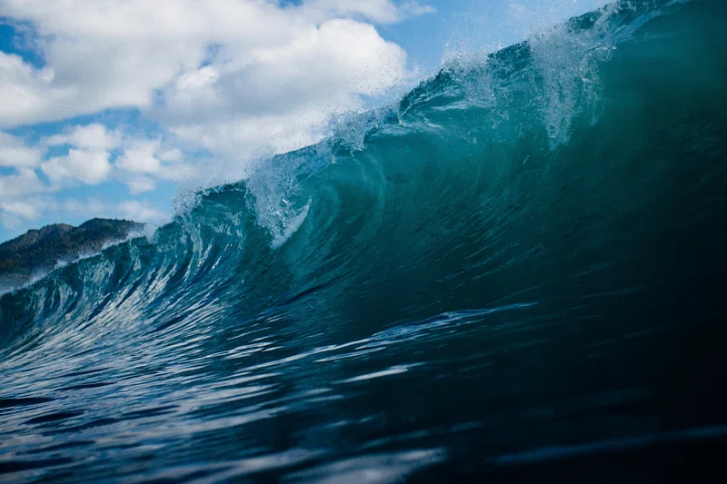
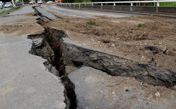
When the next earthquake hits, coastal communities will face multiple threats. The initial shaking could last up to five minutes. Then tsunami waves, potentially reaching 100 feet (30 meters) high, would barrel toward shore within minutes.
But the dangers don’t end there. The earthquake would cause coastal land to suddenly sink by up to 6.5 feet, immediately expanding flood zones. This land subsidence would permanently alter coastlines and flood communities even after tsunami waters recede.
Similar Posts
“All the sea-level rise you expected by 2300 is going to happen in minutes,” Dura told the San Francisco Chronicle.
The Virginia Tech study found that this subsidence would more than double the current flood exposure, affecting an additional 14,350 residents, 22,500 structures, and 777 miles of roadway. Critical infrastructure including airports, schools, hospitals, and wastewater treatment plants would be permanently compromised.
Southern Washington, northern Oregon, and northern California face the highest flood risks from a Cascadia earthquake and tsunami. The Federal Emergency Management Agency (FEMA) estimates such an event could cause about 13,000 deaths and displace a million people.
While scientists can’t predict exactly when the next Cascadia earthquake will strike, they emphasize the importance of preparation. Communities are working to identify tsunami inundation zones, establish evacuation routes and assembly areas, post warning signage, educate the public, and strengthen buildings and infrastructure.
As Harold Tobin, director of the Pacific Northwest Seismic Network, noted: “There’s the flood itself and then there’s the basically permanent change to land level at the coast and that has a big impact for what those communities have to plan for.”
