Cyclone Akvan Andhra Pradesh: IMD Tracks Very Severe Storm to Nellore-Tuni Coast by Nov 20
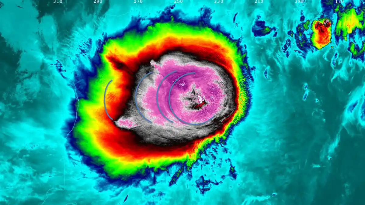
Cyclone Akvan Tracker: IMD Projects Very Severe Storm Crossing Between Nellore and Tuni by Nov. 20
Cyclone Akvan Andhra Pradesh — Coastal communities from Nellore to Visakhapatnam are watching a familiar pattern repeat. Two Bay of Bengal cyclones have already battered Andhra Pradesh and Odisha in the past three weeks. Fields are still waterlogged. Crops are still being assessed. A third system is now building strength in the same ocean, tracking toward the same coastline.
The India Meteorological Department issued a pre-cyclone watch on November 16, 2026. The Bay of Bengal deep depression is expected to become Cyclone Akvan—named by Iran. IMD projects Cyclone Akvan landfall along the Andhra Pradesh coast between Nellore and Tuni by November 20 noon. At 8:30 a.m. IST on November 16, the system sat 635 km east-northeast of Trincomalee. It was 690 km west of Sri Vijaya Puram and 720 km east-southeast of Chennai. It also sat 820 km south-southeast of Visakhapatnam and 940 km south-southeast of Gopalpur. The system was moving north-northwest at 6–8 km/h. Landfall winds are projected at 120–130 km/h, with gusts up to 135–145 km/h.
Coastal residents, fishermen, and farmers across Andhra Pradesh, Odisha, and Tamil Nadu face a third cyclone in three weeks. The Bay of Bengal deep depression is strengthening into Cyclone Akvan, per IMD bulletins released on November 16, 2026. IMD issued a pre-cyclone watch projecting a very severe storm. The crossing between Nellore and Tuni is expected by November 20 noon. Gusts may reach 145 km/h. All offshore operations have been halted.
The system is forecast to organize into a named cyclonic storm by Monday evening, November 16. It will reach Severe Cyclonic Storm intensity on Tuesday, November 17. Squally winds of 50–60 km/h will push into coastal areas from Monday. The storm is then expected to reach Very Severe Cyclonic Storm status before approaching the Andhra Pradesh coast overnight on November 19.
According to IMD bulletins reported by The Hindu on November 16, 2026, the Bay of Bengal system will become Cyclone Akvan by Monday evening. It will intensify into a severe cyclonic storm on November 17. The storm is then forecast to cross the Andhra Pradesh coast between Nellore and Tuni by November 20 noon. That overnight window on November 19–20 is the highest-risk period for storm surge and coastal inundation.


Latest from Environment

Tree T-Pee and Its Water-Saving Claim: What Johnny Georges Said on Shark Tank
Johnny Georges says the Tree T-Pee can sharply reduce irrigation needs for young trees. The claim is his; farm water performance must be tested by site.
WMO Early Warning Systems Report 2026: Disaster Deaths 6 Times Lower, 1 in 3 Countries Still Unprotected
If a cyclone, flood or heatwave is heading your way, a warning only helps if someone is watching the radar. It also has to reach your phone. A new United Nations report
Delhi’s GRAP Is an Emergency Tool—Not a Year-Round Clean-Air Strategy
GRAP helps Delhi-NCR respond to smog emergencies. But long-term clean air requires year-round, regional action on transport, dust, fuel and industry.

2024 Election Records: The Reporters’ Collective Investigation and the ECI’s Response
The Reporters’ Collective found alleged record discrepancies in 51 seats. The ECI rejects its interpretation. What the investigation and response say.
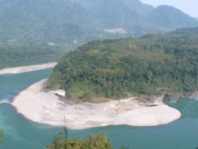
Naying Hydroelectric Project: What the Forest-Clearance Recommendation Means for Arunachal Pradesh
The FAC has recommended Stage-I forest clearance for the 1,000-MW Naying Hydroelectric Project. What the 470.8-hectare proposal means and what remains to be approved.

NOAA Updates El Niño Odds as Sierra Storm Warning Brings Travel and Wind Risks
California travelers faced a new Sierra weather threat as NOAA updated its El Niño outlook. The NOAA El Nino update November 2026 put the chance of a strong to very strong event
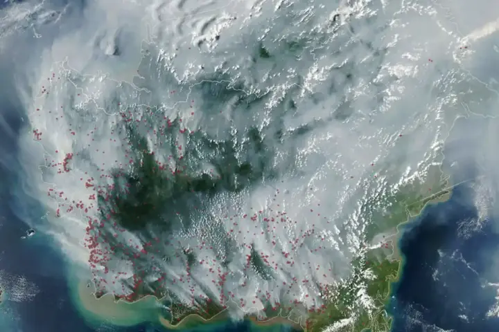
Indonesia 2026 Wildfires: Climate Change Made Extreme Fire Weather Three Times More Likely
In 2026, smoke from Indonesia’s burning forests blanketed four countries. Roughly 12.5 million people across Indonesia, Malaysia, Singapore, and Timor-Leste breathed haze thick enough to close schools and ground flights in Kalimantan.

Mumbai’s Firecracker Fires: 333 Incidents in Five Days Raise Questions About Enforcement
Mumbai Fire Brigade figures reported 333 firecracker-linked calls in five days, as an aerial-fireworks ban and the Malvani death sharpened safety concerns.

Dead Fish in Delhi’s Yamuna: What Is Known, Alleged and Still Needs Testing
Dead fish were reported in Delhi’s Yamuna near Sonia Vihar. The cause is unconfirmed amid competing claims; only transparent testing can establish it.

US Animal Shelter Funding and Rescue Compliance: Rocky’s Ace Hardware and Spokane Rescue4All
Two animal welfare stories this month show how differently American communities experience the same compassion. In Massachusetts, a hardware chain’s checkout campaign delivered more than $32,000 to shelters through a transparent, repeatable

Single 4.9 Earthquake Shakes West Sikkim and Eastern Nepal
A magnitude 4.9 earthquake struck the West Sikkim-Nepal border region at 4:30 AM IST on November 12, 2026, according to the National Center for Seismology. The epicenter was at 27.671°N, 87.987°E, about
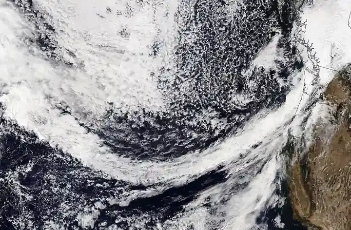
Power Outages Hit NSW Northern Rivers (~2,500 Customers), Lesvos Island, and Venezuela — Global Grid Resilience Roundup
Power Outages Hit NSW Northern Rivers (~2,500 Customers), Lesvos Island, and Venezuela — Global Grid Resilience Roundup Severe storms at 6:14 PM Wednesday knocked out power to 3,848 customers initially (peaking above

Bilaspur–Manali–Leh Railway: Tanglang La Station Record
Indian Railways’ Detailed Project Report (DPR) for the 489-km Bilaspur–Manali–Leh corridor maps out a ₹1.31 lakh crore Himalayan engineering feat: a station beneath Ladakh’s Tanglang La at 5,256 metres (17,244 feet), eclipsing

London Air Pollution Alert: Sadiq Khan, NHS Warnings as Fog and Fireworks Hit vs Delhi
Mayor Sadiq Khan issued London’s fourth “High” air pollution alert of 2026 as dense fog and fireworks season trapped PM2.5 across the capital. Social media then compared London’s haze with New Delhi’s

Can a Creek Power Your Home? The Physics, Permits and Limits of Micro-Hydropower
A small creek can provide reliable renewable power, but only with adequate head and flow, ecological safeguards, electrical safety and legal approvals.