Mumbai’s Last Wilderness Under Threat: SGNP’s Draft Allows IT Parks, Tourism Without Carrying Capacity Limits
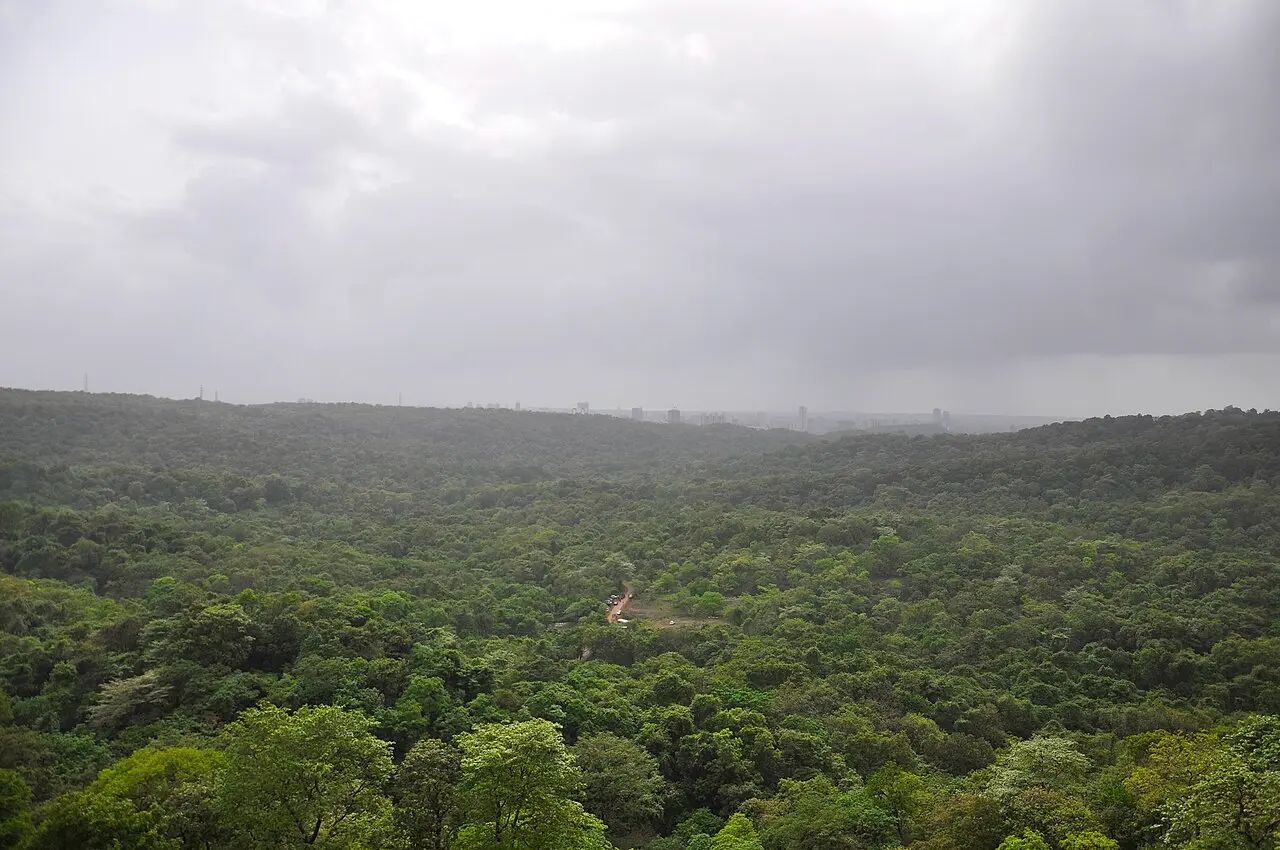
The Brihanmumbai Municipal Corporation unveiled the Draft Zonal Master Plan (ZMP) on September 10, in line with the Union environment ministry’s ESZ notification of 2016. This 300-page document will regulate land use across 59.45 square kilometers of eco-sensitive zone surrounding Sanjay Gandhi National Park, affecting over 634,689 residents.
The plan divides the ESZ into three zones – ESZ-1 (Settlement Zone), ESZ-2 (Regulated Zone), and ESZ-3 (Protected Zone) – with overlays for Human-Animal Conflict (HAC) Immediate Impact Areas and eco-tourism potential. This follows the Supreme Court’s directive to maintain a minimum 1-km Eco-Sensitive Zone around protected forests. Currently, 33.21 percent of the eco-sensitive zone comprises developed land including areas covered by slums, industrial activity, and commercial use.
A concerning aspect: the master plan was released only in English, leaving thousands of tribal residents who have lived in these areas for generations unable to comprehend a document that directly impacts their lives and livelihoods. The BMC has provided only a 30-day window for suggestions and objections, ending soon.
Explore Conservation Risks by Zone
Click each zone below to understand specific threats. Each zone faces unique development pressures that could permanently alter SGNP’s ecosystem.
Full Development Potential Unleashed
ESZ-1 explicitly allows all Development Plan uses at full potential. Gaothans and padas marked ESZ-1 can expand indefinitely, creating dense urbanization directly at forest edges.
Commercial Mega-Infrastructure
Malls, multiplexes, and convention centers permitted with just an Environmental Management Plan. No explicit cumulative impact caps or carrying capacity limits specified.
Grandfathered Legacy Projects
Any project already permitted by ESZ bodies/SBWL with environmental consent need not comply with the new ZMP, potentially locking in outdated designs.
Industrial & IT Parks Green-lit
Non-polluting industries, IT parks, and warehouses allowed with EMP approval. No hard carrying-capacity quotas or trip generation limits established.
Inadequate Wildlife Corridors
Proposed overpasses only 20-50m wide, placed every 2-3 km. Wildlife experts confirm these specifications are marginal for leopards and inadequate for multi-species movement.
Minimal Waterbody Buffers
Lakes and nallahs get only 15m buffers, with beautification allowing up to 15% hardscape. These thin margins squeeze riparian vegetation critical for water quality.
State Infrastructure Override
Even in the most protected ESZ-3, trunk city/region infrastructure proceeds on state directive. This carve-out can override local conservation logic in high-value patches.
Uncapped Tourism Expansion
Yeoor and Chene riverfront earmarked for eco-lodges, retreats, camping, boating. No hard visitor caps, seasonality limits, or carrying capacity thresholds specified.
Signage Light Pollution
Commercial signboards and hoardings permitted. LED hoardings barred only facing the park, leaving other directions unaddressed for light-spill and skyglow.
Insufficient Conflict Buffers
HAC Immediate Impact Areas use only 250m buffers around conflict clusters. This modest radius for large carnivores may under-capture actual conflict pathways as urbanization intensifies. Recent protests highlight similar tensions in the Aarey area.
Hard Boundary Paradox
Proposed compound wall around entire SGNP (except corridors) prioritizes human safety but creates impermeable barriers for smaller fauna and intensifies edge effects.
Night Traffic Continues
Night-time vehicular movement only “regulated” not restricted. Without strict slow-speed mandates and dark-sky rules, collision and disturbance risks remain high.
Critical Numbers That Define the Crisis
The draft ZMP reveals concerning statistics: approximately 115.71 hectares of forest land have already been encroached. The plan allows rehabilitation permissions “anywhere in ESZ” for Adivasi families and eligible encroachers under Draft DCPR 2034 regulations, potentially introducing new built footprints into sensitive patches if not tightly controlled.
Of the total ESZ area, only 34 percent (2,032 hectares) comprises actual forest cover. The analysis shows 33.21 percent is already developed land, with 146 hectares used for industrial activity, 256 hectares for residential purposes, and 184 hectares occupied by slums. This leaves limited buffer for wildlife movement as Ministry of Environment guidelines recommend.
The proposed wildlife corridors – including critical crossings at Ghodbunder Road, Virar-Alibag corridor, and the Diva-Kaman railway line – are specified at only 20-50 meters width. Wildlife biologists from the Wildlife Institute of India typically recommend minimum widths of 100-200 meters for effective large carnivore movement.
Critical Zones & Proposed Corridors
This interactive map displays ESZ boundaries, high-risk development zones, and proposed wildlife corridors. Each marker represents a critical conservation challenge identified in the draft plan.
20-Year Impact Projection
Based on the draft provisions, here’s how SGNP’s ecosystem could transform over the next two decades if current specifications remain unchanged.
Calculate Ecosystem Impact
Adjust these real parameters from the draft plan to see cumulative effects on SGNP’s ecological health. The scoring is based on conservation biology research and expert assessments.
Expert-Recommended Modifications
Environmental scientists and conservation biologists recommend these critical changes to protect SGNP while allowing sustainable development.
The Stakes for Mumbai’s Future
The Draft Zonal Master Plan’s current provisions could transform SGNP’s eco-sensitive zone within a generation. The plan’s approach marks a significant shift from the previous policies, which had emphasized conservation over large-scale infrastructure in forest areas. The plan permits Metro car sheds and depots as public utilities, allows new roads under “applicable rules,” and enables trunk infrastructure even in ESZ-3 on state directive.
Environmental groups including Vanashakti and local conservation organizations have raised concerns about the absence of comprehensive wildlife census data since 2011. Without baseline data on leopard populations, prey species density, and movement patterns, regulating development becomes extremely challenging.
The plan does include some positive measures: creation of animal rescue centers in Aarey, rapid action cells in HAC hotspots, and requirements for Wildlife Mitigation Plans in conflict areas. However, enforcement mechanisms remain unclear, and the reliance on project-by-project EMPs without cumulative impact assessment raises questions about long-term effectiveness.
The 30-day objection period, which ends soon, has been criticized as insufficient given the plan’s complexity and its release only in English. Tribal communities, who form a significant portion of affected residents, continue to demand translation and extension of the consultation period.
Submit Your Objections Before It’s Too Late
Physical submissions can be made at BMC headquarters, TMC, MBMC, VVCMC offices, and the Palghar collector’s office during working hours.
The Draft Zonal Master Plan for SGNP’s eco-sensitive zone covers 59.45 square kilometers across Mumbai, Thane, and Palghar districts. The document outlines permitted and prohibited activities across three zones, affecting 634,689 residents. The BMC released the plan on September 10 with a 30-day objection period ending October 10. Citizens can submit feedback via email to designated municipal authorities or through physical submissions at specified government offices.