A fierce cold front is bringing damaging winds, blizzard conditions, and unusual low-level snow to much of south-eastern Australia in these final days of winter. The Bureau of Meteorology (BoM) reports this polar system will impact South Australia, Victoria, New South Wales, and Tasmania through the weekend.
Nature’s Fury Unleashed
Already, the system has packed a punch across South Australia, with official weather stations recording damaging wind gusts of 106 km/h at Outer Harbor and 96 km/h at Adelaide Airport. Radar imagery shows a strong line of showers and thunderstorms developed along the cold front’s leading edge.
The front is now moving eastward through western Victoria, bringing the risk of damaging winds to four states simultaneously. The BoM has issued severe weather warnings covering South Australia, Victoria, New South Wales, and parts of Tasmania.
Timeline of Winter’s Final Assault
For South Australia, particularly the Adelaide metropolitan area, wind risks will continue today before easing later this evening. Victorian and New South Wales residents face increasing wind dangers throughout today, including across Melbourne, with conditions unlikely to improve until sometime Saturday.
In Tasmania, King Island and the Great Western Tiers are under warning from late this evening into the overnight period.
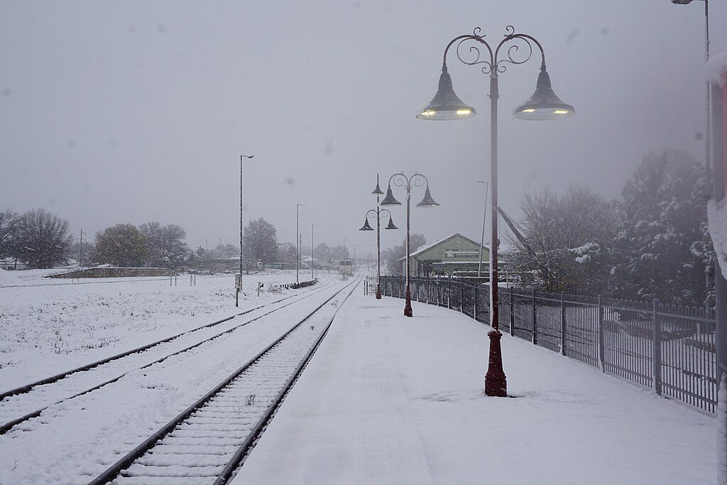
Snow Where You Wouldn’t Expect It
The coldest air mass arrives late Friday into early Saturday, pushing snow levels to unusually low elevations:
- Victoria, south-east South Australia, southern and central NSW: 600-700 meters
- Northern Tablelands of NSW: 900 meters
- Tasmania: As low as 300-500 meters
This means snow will fall in many traditional alpine areas but also in places that rarely see the white stuff. The BoM confirms flurries are possible across South Australia’s Flinders and Mount Lofty Ranges, Victoria’s Central Ranges, and the Central and Northern Tablelands of NSW.
Real Dangers, Not Just Pretty Scenery
While snow in late August might excite many communities, the BoM emphasizes this remains a severe weather event with genuine hazards:
- Fallen trees and limbs from strong winds could damage cars, property, and cause power outages
- Blizzard conditions may create dangerous white-outs in alpine regions
- Hazardous driving conditions across many areas through the weekend
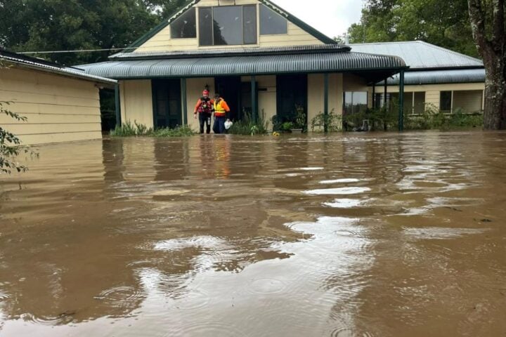
- Moderate rainfall could trigger river rises, particularly in northern Tasmania where minor flood warnings are already in place
- Strong southerly flow behind the front may generate hazardous surf along the NSW coast
What Happens Next?
The cold front will sweep across eastern states through today into early tomorrow, bringing showers, isolated storms, and small hail. Generally moderate rainfall totals are expected, particularly in elevated areas and along exposed coastlines.
Conditions should gradually ease from late Saturday into Sunday. Winds will diminish, snow levels will rise, and while some showers may persist, they’ll mainly affect southern coastal areas.
Weekend Outlook
By Sunday, the worst will have moved offshore into the Tasman Sea. A few showers will linger in South Australia, Victoria and Tasmania, with drier conditions returning to New South Wales. Temperatures will begin warming in southeastern capitals.
For those participating in Sydney’s marathon on Sunday, expect a cold 7°C start but a sunny day reaching 19°C.
The BoM’s forecast shows settled conditions returning to Western Australia after an unusually wet August, while northern Australia faces elevated fire dangers with extreme warnings issued for the Barkley North region tomorrow and for Darwin from Sunday.
The BoM reminds residents to stay informed through their website, the BOM Weather app, and social media channels for the latest forecasts and warnings as this significant late-winter system moves through.
Frequently Asked Questions (FAQ)
How strong are the winds during this storm?
The Bureau of Meteorology has recorded damaging wind gusts of 106 km/h at Outer Harbor and 96 km/h at Adelaide Airport. These strong winds can knock down trees, damage property, and cause power outages. Similar wind strengths are expected across the affected states.
Where will it snow and how low will snow levels get?
Snow will fall across multiple states with varying snow levels:
– Tasmania: As low as 300 meters in southern areas
– Victoria and southern NSW: 600-700 meters
– Northern Tablelands of NSW: 900 meters
This means many areas that rarely see snow might experience it during this event.
Is it safe to drive during this weather event?
Driving conditions will be dangerous in many areas, especially where snow and ice may form on roads. The BoM warns of poor visibility from blizzard conditions in alpine regions, and fallen trees may block roads. If possible, delay travel plans until conditions improve, especially in mountain areas and exposed roads.
How long will this storm last?
The severe weather is expected to continue through Friday and Saturday. Conditions should gradually ease from late Saturday into Sunday, with winds diminishing and snow levels rising. By Sunday, the worst of the system will have moved offshore into the Tasman Sea.
Should I be worried about power outages?
Yes, power outages are a real possibility. The strong winds can bring down trees and power lines. It’s wise to:
– Charge phones and devices
– Have flashlights and batteries ready
– Keep blankets handy if heating is affected
– Have some non-perishable food available
What should I do to prepare for this storm?
To stay safe during this severe weather:
– Secure or store loose items around your property
– Park vehicles under cover or away from trees if possible
– Stay indoors during the worst of the conditions
– Keep pets inside or in sheltered areas
– Have emergency contact numbers handy
– Stay updated through the BoM website, app, or radio
Will this affect weekend plans and events?
Yes, outdoor events scheduled for Friday and Saturday in the affected areas may be disrupted or canceled. Sunday should see improving conditions, though it will start cold. The Sydney marathon on Sunday is still expected to go ahead, starting at a chilly 7°C but reaching 19°C with sunny conditions.
Is flooding a concern with this system?
Some flooding is possible, particularly in northern Tasmania where minor flood warnings are already in place. Moderate rainfall totals are expected in elevated areas and along exposed coastlines, which could lead to river rises. Most areas won’t experience major flooding from this system.
