An omega block weather pattern has anchored itself over the Central U.S., forcing repeated waves of thunderstorms to pass through Austin until Thursday, May 8, 2025. This large-scale pattern, where two low-pressure troughs flank a high-pressure ridge, creates a weather holding pattern that resembles the Greek letter Ω (omega block weather pattern) (Wikipedia).
According to the National Weather Service Austin/San Antonio Area Forecast Discussion issued May 6, two rounds of strong to severe storms moved through Tuesday, with a third, slightly weaker round expected Wednesday as a “strong shortwave” and stalled front continue to create favorable conditions for large hail, damaging winds and flooding risks.
The Storm Prediction Center has placed parts of Southeast Texas—including areas north and east of Austin—under an enhanced risk for severe thunderstorms today, warning of hail up to 2 inches in diameter and wind gusts reaching 70 mph . Thursday maintains a marginal risk.
Austin Camp Mabry can expect high temperatures near 85 °F Tuesday with an 80 percent chance of thunderstorms. Wednesday brings highs near 86 °F with a 30 percent chance of afternoon showers and storms. Overnight lows will stay in the mid‑ to upper‑60s. By Thursday, a quasi‑stationary coastal front brings 30–50 percent chances of precipitation, heaviest along the Rio Grande Plains.
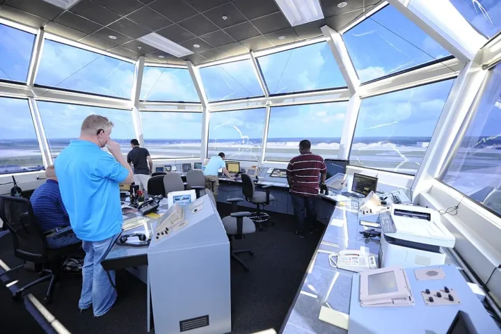
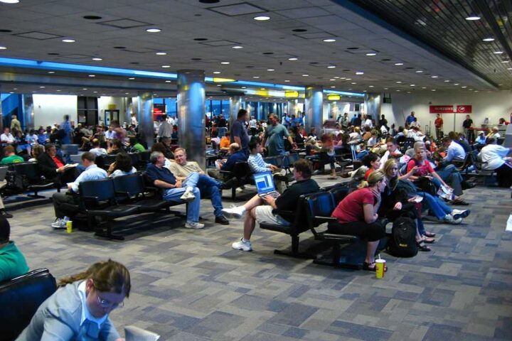
The Federal Aviation Administration’s National Airspace System Status shows ground stops at Austin‑Bergstrom International Airport due to “WEATHER / LOW CEILINGS,” causing arrival delays up to 15 minutes and departure delays averaging 2 hours 41 minutes as of May 6 .
Similar Posts
Beyond the severe thunderstorm threats identified by the SPC, the Weather Prediction Center’s Excessive Rainfall Outlook highlights a slight‑to‑moderate risk of flash flooding across parts of Central Texas through Tuesday night (Texas 2036).
The National Weather Service reminds residents about lightning safety with their straightforward protocol: “When thunder roars, go indoors.” Seek shelter in an enclosed building or hard‑topped vehicle at the first sound of thunder, and remain sheltered at least 30 minutes after the last rumble (Karmactive).
Texas has experienced 190 weather/climate disasters exceeding $1 billion in losses since 1980 (Texas leads the nation in billion‑dollar disasters) (Texas 2036). A 2024 Texas 2036 report projects rainfall intensity in the Austin–Round Rock metro to increase by 10 percent by 2036 relative to 2001–2020, elevating urban flood risks as storm patterns intensify.
On April 29, 2025, Governor Abbott directed the Texas Division of Emergency Management to activate additional state emergency response resources ahead of the expected severe weather (Texas Division of Emergency Management).

The City of Austin’s Emergency Operations Plan calls for resource mobilization when forecasts indicate significant severe weather or flooding threats.
The Texas Department of Transportation warns drivers to never drive into flooded roadways—violations carry fines up to $2,000 and potential jail time—and advises motorists to monitor DriveTx.org for real‑time closures and detours (Karmactive).
NWS forecasters emphasize the highly localized, fast‑evolving nature of spring storms in Central Texas, noting that even adjacent neighborhoods may see vastly different rainfall amounts due to storm cell training and boundary interactions.