Tropical Storm Erin has left at least seven people dead in Cabo Verde while forecasters warn it could become the first major hurricane of the 2025 Atlantic season by this weekend.
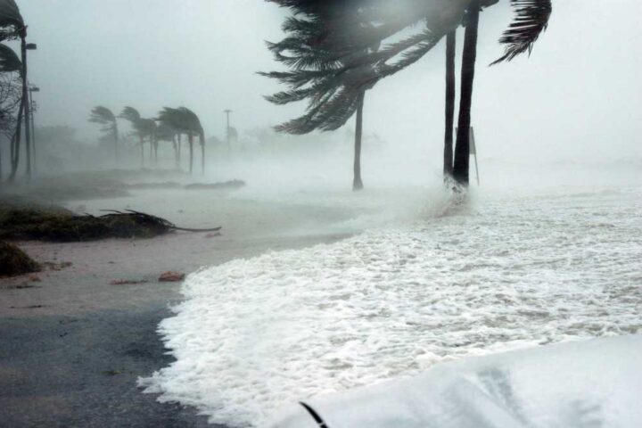
The storm formed Monday in the eastern Atlantic Ocean west of the Cabo Verde islands, where it unleashed devastating flash floods before moving westward. According to local officials, at least seven people, including four children, were killed on the island of São Vicente after the system dumped nearly 8 inches of rain in just five hours.
“We would like to take this opportunity to offer our deepest condolences to the families and ask that everyone be vigilant and help others, as the situation is somewhat complex,” said Civil Protection Councilor José Carlos, who warned more people might still be missing.
The flooding caused widespread damage across Cabo Verde, including blocked roads, fallen trees, power outages, and structural damage to homes and businesses. The government has declared days of national mourning for the victims.
As of Tuesday morning, Erin was located about 820 miles west of the Cabo Verde Islands with maximum sustained winds of 45 mph, moving westward at a brisk 23 mph, according to the National Hurricane Center (NHC).
Forecasters expect Erin to strengthen gradually as it moves into warmer waters with low wind shear – conditions that favor hurricane development. The NHC predicts Erin will become a hurricane by late Thursday and potentially reach major hurricane status (Category 3 with winds of at least 111 mph) by early Sunday.
Similar Posts
“Several factors are working in its favor, including lack of dust, warm water and a lack of disruptive breezes,” said AccuWeather Senior Meteorologist Chad Merrill.
While no coastal watches or warnings are currently in effect, residents of the northern Leeward Islands, Virgin Islands, and Puerto Rico should monitor the storm, as the risk of impacts has increased. Most forecast models currently show Erin tracking north of these islands before making a gradual turn to the northwest and then north.
The probability of a U.S. East Coast landfall remains low at this time – less than 10% according to some meteorologists. However, dangerous beach conditions are expected regardless of the storm’s exact path.
“There will be a significant increase in seas, surf and rip currents along the East coast beaches next weekend into the following week,” Merrill warned. “Families heading to Atlantic beaches before heading back to school should be cautious and stay in areas with lifeguards on duty.”

Erin marks the fifth named storm of the 2025 Atlantic hurricane season, following Andrea, Barry, Chantal, and Dexter. NOAA forecasts an above-normal season with 13-18 named storms expected. August typically marks the beginning of the most active period of hurricane season, which runs through November.
The formation of Erin aligns closely with climatological averages, as the first hurricane of the Atlantic season typically forms around August 11, while the first major hurricane usually doesn’t develop until around September 1.