The skies over western Massachusetts turned threatening today as the National Weather Service issued tornado warnings for Berkshire, Franklin, and Hampshire counties until 2:45 p.m. EDT, with Hampden County’s warning extending to 3 p.m. Eight counties now sit under a severe thunderstorm watch until 8 p.m.: Essex, Franklin, Hampden, Hampshire, Middlesex, Norfolk, Suffolk, and Worcester.
After covering weather events since before the widespread adoption of Doppler radar networks in the 1990s, I’ve witnessed how technology has improved warning times. Today’s Doppler radar systems give residents precious extra minutes to seek shelter—typically 8-12 minutes on average today compared to the limited alert systems of decades past.
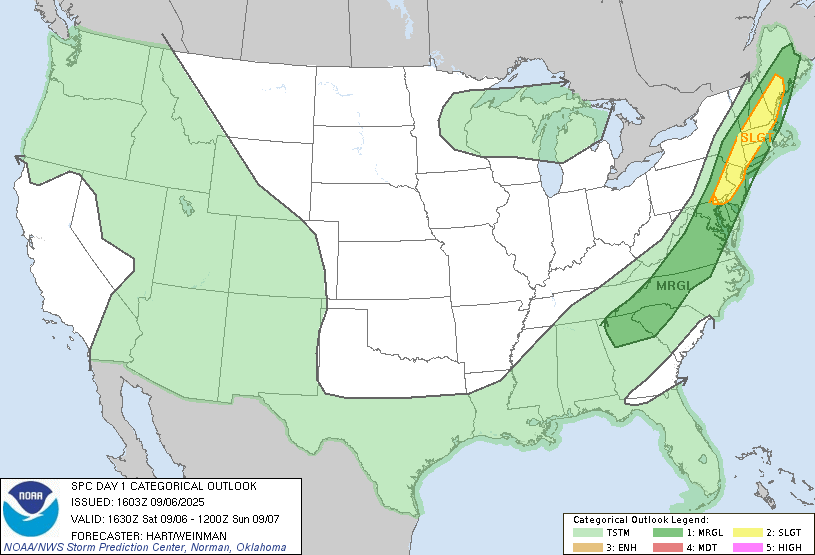
The current warnings reflect meteorological conditions showing warm, humid air creating atmospheric instability, coupled with strong wind shear—conditions that historically signal potential tornado formation. StormTeam 5 meteorologist A.J. Burnett identified a peak storm risk window between 2 p.m. and 8 p.m., with damaging winds posing the primary threat.
Similar Posts
Western Massachusetts, Worcester County, and the Merrimack Valley face the highest risk, while South Shore, Cape Cod, and Islands should remain largely dry as this system moves through. The National Weather Service forecast discussion warns that storms will likely develop into lines with bowing segments, a pattern typically associated with both straight-line wind damage and possible embedded tornadoes.
Massachusetts has experienced 200 recorded tornadoes since 1950 through the end of 2024, with Worcester County leading at 48 confirmed touchdowns. While June through August constitutes the traditional peak tornado season for the state (with July often the busiest month), September events, though less frequent, remain a credible threat.
The Massachusetts Emergency Management Agency recommends residents in affected areas seek shelter in basements or interior rooms away from windows, avoid vehicles and mobile homes, and keep emergency communications accessible through battery-powered weather radios or mobile alerts.
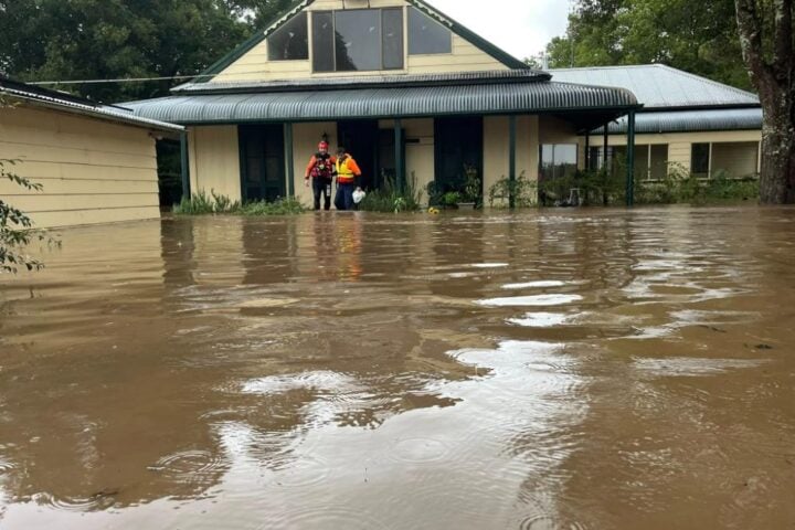
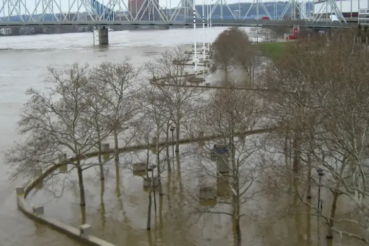
High precipitable water values in the atmosphere raise additional concerns about flash flooding, particularly in areas with poor drainage or near waterways—a reminder that tornadoes aren’t the only hazard these storm systems bring.
The National Weather Service has issued tornado warnings for multiple counties in western Massachusetts, with severe thunderstorm watches extending into the evening. Meteorologists have advised residents to prepare for damaging winds, hail, and localized flooding. Historical data indicates that while September tornadoes are less common in the state, they can still occur.
