A massive fault line that runs through Canada’s Yukon Territory, once thought dormant for over 40 million years, may be quietly building toward a powerful earthquake that could shake communities across northwestern Canada and into Alaska.
New research from the University of Victoria has revealed that the Tintina Fault—a 1,000-kilometer-long geological feature stretching across the Yukon—shows clear signs of recent seismic activity and could produce earthquakes exceeding magnitude 7.5.
“Over the past couple of decades there have been a few small earthquakes of magnitude 3 to 4 detected along the Tintina fault, but nothing to suggest it is capable of large ruptures,” says Theron Finley, recent UVic PhD graduate and lead author of the study published in Geophysical Research Letters. “The expanding availability of high-resolution data prompted us to re-examine the fault, looking for evidence of prehistoric earthquakes in the landscape.”
Hidden in Plain Sight
Using advanced imaging technology from satellites, airplanes, and drones, researchers identified a 130-kilometer segment near Dawson City where the land tells a different story than previously understood. Geological formations along the fault show dramatic sideways shifts—one dating back 2.6 million years has moved approximately 1,000 meters, while another from about 132,000 years ago has shifted by 75 meters.
These offsets indicate the fault has experienced multiple large earthquakes throughout the Quaternary period (the last 2.6 million years) and continues to accumulate strain at a rate of 0.2-0.8 millimeters per year.
Most significantly, the research team found that the fault has not produced a major earthquake in at least 12,000 years, suggesting it may be in the late stage of what geologists call a seismic cycle.
“We determined that future earthquakes on the Tintina fault could exceed magnitude 7.5,” explains Finley. “Based on the data, we think that the fault may be at a relatively late stage of a seismic cycle, having accrued a slip deficit, or build-up of strain, of six meters in the last 12,000 years. If this were to be released, it would cause a significant earthquake.”
Risk to Communities and Infrastructure
The implications for nearby communities are sobering. Dawson City, with a population of about 1,580 (2021 Census), sits less than 20 kilometers from the mapped fault trace and would experience severe shaking during a major earthquake.
Beyond the immediate shaking hazard, the region faces compounding risks. The Klondike area is prone to landslides, and researchers have identified two unstable slopes—the Moosehide landslide immediately north of Dawson City and the newly discovered Sunnydale landslide directly across the Yukon River—that show ongoing signs of instability and could be triggered by seismic activity.
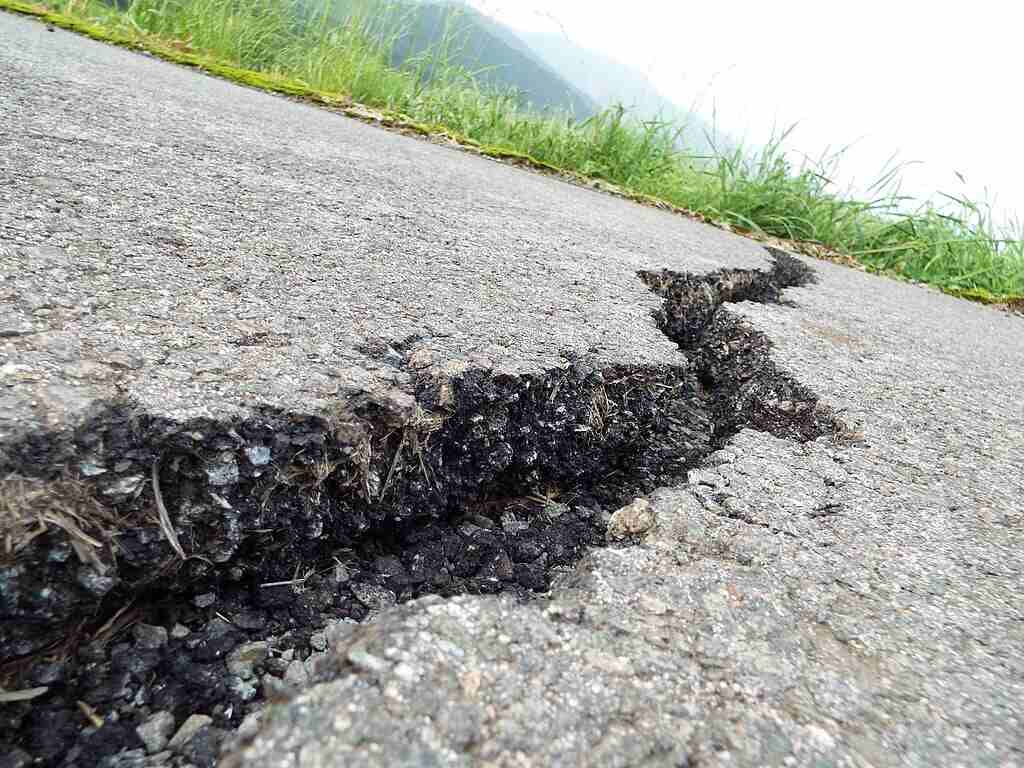
Critical transportation routes, including the Klondike and Dempster highways, cross the fault zone. A rupture could damage or destroy these vital lifelines, potentially isolating communities and hampering emergency response efforts.
Gaps in Hazard Planning
Perhaps most concerning is that despite its size and potential impact, the Tintina Fault is not currently recognized as a discrete seismic source in Canada’s National Seismic Hazard Model (NSHM), which informs building codes and emergency planning.
Similar Posts
The research was led by Theron Finley, who is set to join the Yukon Geological Survey in August, according to Geoscience Research Manager Jan Dettmer. Regarding the significance of the findings, Dettmer told the Yukon News, “I expect this will trigger many studies in the next few years to much better understand what’s going on there.”
The oversight highlights a broader challenge in seismic hazard assessment. Faults with low strain accumulation and long recurrence intervals—those that might remain quiet for thousands of years between earthquakes—can fall beneath the radar of traditional monitoring systems.
Historical Records and Monitoring
Currently, the understanding of earthquake rates and seismic hazard in much of Canada is based on a catalog of earthquakes from written historical records and modern seismic monitoring networks. Collectively, these records only cover the last couple hundred years, while major faults can lie quiet for thousands of years between large ruptures.
The Tintina Fault doesn’t stop at the Canadian border—it connects to the Kaltag Fault in Alaska and extends southeast to the Rocky Mountain Trench Fault. This means its seismic activity could have cross-border implications.
In Alaska, the Alaska Earthquake Center is the primary agency routinely tracking Tintina seismicity, with USGS involvement via national fault databases. The fault system has received less attention than other known hazards like the Denali Fault, which produced a magnitude 7.9 earthquake in 2002.
Looking Ahead
The findings from this study will be shared with local governments, emergency managers, and infrastructure planners to improve earthquake preparedness. They will also ultimately be integrated into Canada’s National Seismic Hazard Model, which informs building codes and engineering standards designed to protect lives and critical infrastructure.

While researchers caution against making definitive predictions about when the next earthquake might occur, they emphasize the need for additional studies to understand the fault’s behavior better and assess future risk.
For residents of the Yukon and neighboring regions, the discovery of the Tintina Fault’s activity provides important information about the geological processes occurring beneath their communities. Preparing for earthquakes with emergency supplies and family communication plans remains standard advice from emergency management agencies in regions with seismic potential.
As geological investigations continue, researchers hope to develop a more complete picture of the Tintina Fault’s seismic history and potential future activity, enabling better hazard assessment and community preparedness across this vast northern region.