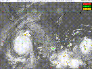
A massive earthquake struck off Russia’s Kamchatka Peninsula on July 29, 2025, sending tsunami waves across the Pacific Ocean. Initially measured at magnitude 8.8 by the National Tsunami Warning Center and later revised to 8.0 by the U.S. Geological Survey, the event prompted tsunami alerts throughout the Pacific basin. The National Tsunami Warning Center issued tsunami advisory bulletins for California coasts shortly before midnight PDT, with Message #12 at 3:20 a.m. PDT confirming the advisory for Southern California. First waves were expected to reach local beaches around 1 a.m. Wednesday.
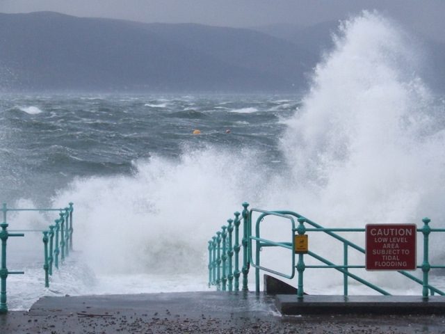
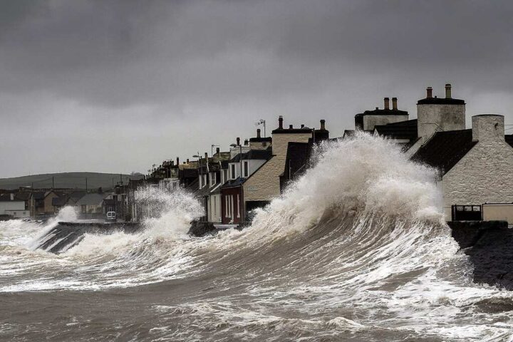
Tsunami waves in Southern California will likely remain under one foot high, according to National Weather Service projections. However, these seemingly modest waves can create deceptively dangerous conditions.
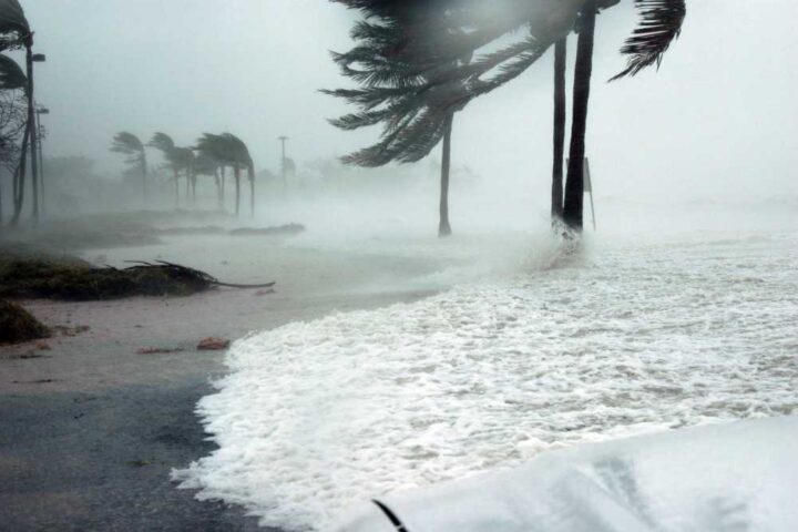
“Strong currents and dangerous waves are possible for people in or very near the water,” said the National Tsunami Warning Center in its advisory bulletin. These currents pose risks to swimmers, boats, and harbor structures for many hours after initial arrival.
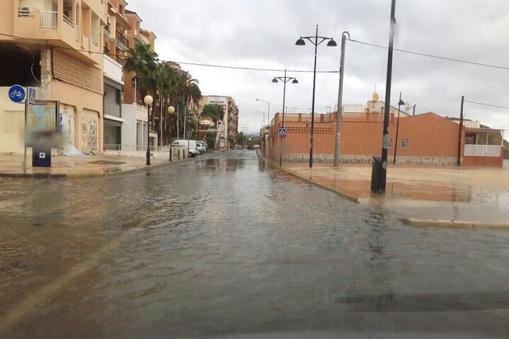
The tsunami advisory—the second level of tsunami alerting—doesn’t call for widespread evacuation but urges people to stay off beaches and out of the water. NOAA tsunami guidance recommends boaters either move vessels to deeper water when safely possible or secure them properly.
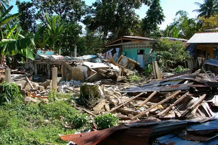
Southern California’s tsunami history helps put today’s advisory in perspective. The most significant distant-source tsunami struck in 1960 when a 9.5 magnitude Chilean earthquake sent 4-foot waves to Santa Monica and Port Hueneme, damaging Los Angeles and Long Beach harbors. More recently, the January 2022 Hunga Tonga-Hunga Ha’apai volcanic eruption generated a tsunami that damaged dock ramps at Ventura Harbor when waves coincided with high tide.
Tsunamis travel about 500 miles per hour in deep ocean—comparable to jet aircraft speed—before slowing in shallow coastal waters. The waves involve the entire water column from surface to seafloor, unlike wind-driven waves that only move surface water. This physical characteristic explains their destructive potential despite modest height.
According to NOAA’s Pacific Tsunami Warning Center, each wave can last 5-15 minutes as water rushes in and recedes, with later waves potentially larger than the first.
More Posts
The tsunami risk varies dramatically along the coast due to bathymetry—the underwater topography. Harbor areas face greater danger from seiche oscillations, where bay geometry naturally amplifies waves. This phenomenon can create stronger currents in enclosed harbors than along open coastlines.
Modern tsunami detection has greatly improved since past events. DART buoys (Deep-ocean Assessment and Reporting of Tsunamis) detected the waves moving across the Pacific, allowing scientists to refine their predictions. Tide gauges in Hawaii measured tsunami waves up to 4.0 feet above normal levels at Kahului, Maui, while Northern California stations recorded waves of 1.1 feet at Monterey and 0.8 feet at Point Reyes.
For Southern California residents, emergency officials urge several precautions: stay away from beaches and harbors until officials give the all-clear, avoid the temptation to watch the tsunami from shore, follow official instructions, and keep monitoring official sources for updates.
The tsunami advisory will remain active until the threat passes, potentially many hours after the initial waves arrive. Residents should know their tsunami evacuation zones, which are available through the California Geological Survey’s interactive maps.

The current event showcases how the Pacific Tsunami Warning System functions, with information flowing between international monitoring stations to provide crucial warning time. This system allows Southern California communities several hours to prepare—unlike locally-generated tsunamis that can strike within minutes after an earthquake.
Preparation makes the difference between dangerous chaos and orderly response during natural disasters. The California Tsunami Program and NOAA tsunami experts emphasize that communities with well-informed residents and established evacuation plans typically experience fewer casualties during tsunami events.
Residents can stay informed by monitoring local news, following the National Weather Service on social media, checking tsunami.gov for official updates, and signing up for emergency alerts through county emergency management offices.
The waves may seem small, but respecting the ocean’s power during tsunami events is essential for coastal safety. As emergency officials remind residents: tsunami conditions can persist for many hours after the initial surge, requiring continued vigilance until the advisory is officially lifted.
FAQ
Quick Tsunami Safety Quiz: Test your knowledge!
1. A “tsunami warning” means: