 Sonali Tiwary
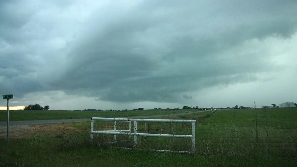
A powerful storm system moved through central and eastern Oklahoma on November 2, 2026. Multiple school districts cancelled afternoon programs, and tornado warnings were active into the evening. Here is what the outbreak covered.
Oklahoma severe weather on November 2 brought a cold front colliding with Gulf moisture across central and eastern Oklahoma. The NOAA Storm Prediction Center in Norman issued an enhanced severe risk outlook for north-central Oklahoma and south-central Kansas, with damaging winds and tornadoes forecast from the afternoon into the night. The National Weather Service issued Tornado Watch 703, covering eight counties in east-central and southeast Oklahoma including areas around Ada, Durant, and Seminole, in effect until 3 a.m. CST on November 3. Local stations KOCO, KFOR, and News9 tracked storm movement throughout the afternoon and evening.
Residents in central Oklahoma affected by this storm system should finalize any emergency steps now if they are still under active alerts. Families in impacted areas should verify local county emergency alert systems, charge mobile devices, and prepare for residual flash flooding at low-water crossings in rural areas through the overnight hours.
The Storm Prediction Center placed an enhanced severe risk — the third tier of five on the SPC scale — over north-central Oklahoma and south-central Kansas on November 2. The primary hazards forecast included damaging wind gusts, large hail, and a risk of tornadoes. Multiple mesoscale discussions noted that the tornado risk along the Red River and into south-central Oklahoma could involve strong rotation. The tornado watch for southeast Oklahoma counties remained in effect overnight.
This falls within what forecasters call Oklahoma’s “second storm season” — an established pattern of high-energy severe convective outbreaks in autumn, when cold fronts push into Gulf moisture that lingers later in the year than seasonal averages. Flash flooding is an additional risk in rural areas east of Oklahoma City, particularly at low-water crossings, when rapid rainfall accompanies these systems.
Residents should monitor severe weather shelter checklists and use multiple warning sources — local emergency sirens, your phone’s emergency weather alerts, and the NWS mobile app — to track conditions. When a tornado warning is issued for your area, seek shelter immediately without waiting for additional confirmation.
Check weather.gov/oun for real-time NWS Norman updates as this system moves eastward.