Parts of the Chicago area face a Winter Storm Warning as an intense lake-effect snow event could produce thundersnow and accumulations exceeding one foot in localized bands. According to the National Weather Service, warnings take effect at 9 PM Sunday in Cook County and eastern Will County in Illinois, along with Lake and Porter counties in northwest Indiana. The warning goes into effect at midnight in Kankakee County, with all Illinois warnings running through noon Monday and Indiana warnings extending to 6 PM Monday.
An intense burst of lake-effect snow is expected to begin billowing over the Chicago area late Sunday night, potentially hitting peak intensity during the Monday morning rush hour. Snow rates in excess of 3 inches per hour could create whiteout conditions on area roadways, especially along the Lake Michigan shoreline and east of Interstate 57. Similar winter weather patterns have affected other regions this season, including severe wind events in northwestern Ontario and extreme weather across the Northern Plains.

Current Watches, Warnings & Advisories
Official National Weather Service alerts for the Chicago region
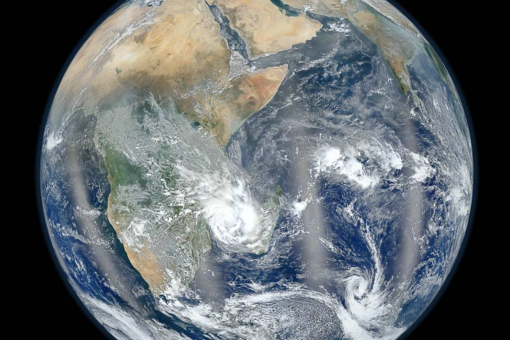
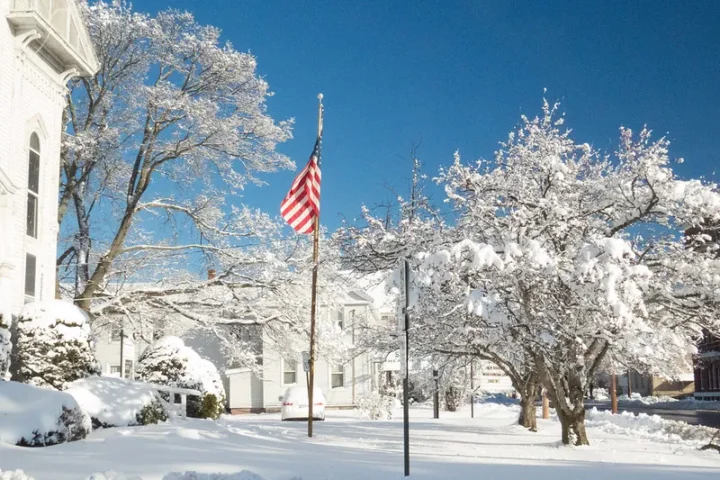
Lake-effect snow forms when cold air crosses relatively warm, ice-free waters of Lake Michigan. Heat and moisture from the lake build clouds that can consolidate into narrow, intense snow bands. Small changes in wind direction alter where these bands park, creating dramatic variations in snowfall totals over short distances. This same meteorological pattern has generated record snowfalls in communities downwind of the Great Lakes throughout the season, similar to severe weather events tracked by global atmospheric monitoring systems.
The National Weather Service Area Forecast Discussion emphasizes that conditions can vary from safe to dangerous across just a few miles beneath lake-effect bands. Forecasters note the potential for “dangerous to impossible travel conditions” during the Monday morning commute, with strong northerly wind gusts exceeding 30 mph leading to greatly reduced visibility. Winter weather preparation mirrors advice issued during other extreme weather events, including flood preparedness along I-95 and emergency responses to extreme precipitation.
Affected Counties Interactive Map
Click markers for detailed county-specific warning information
Snow Accumulation Impact Calculator
See how different snowfall rates affect travel conditions over time
Hour-by-Hour Storm Timeline
Track when conditions will deteriorate and improve
Pre-Storm Safety Checklist
Essential preparations before conditions deteriorate
- Monitor O’Hare and Midway airport delays
- Check IDOT road conditions and Indiana travel advisories
- Fuel vehicles and pack emergency kits (blankets, water, snacks, phone chargers)
- Consider delaying Monday morning travel if possible
- Stock essential supplies before Sunday evening
- Charge all electronic devices and power banks
- Monitor ComEd outage map for power status
- Locate flashlights, batteries, and battery-powered radios
- Review CTA winter operations and snow-fighting equipment deployment
- Check Metra service disruptions before traveling
- Allow 2-3x normal commute time Monday morning
- Explore remote work options if available
Official Weather & Emergency Resources
Authoritative sources for real-time updates and forecasts
Stay Informed and Prepared
This coverage reviewed the active Winter Storm Warnings for the Chicago region, official National Weather Service timing and snowfall projections, and safety resources from IDOT, CTA, Metra, and ComEd. Residents in affected counties were provided with official travel, transit, and power outage monitoring tools.
The phenomenon of lake-effect snow and its localized intensity was explained, along with the meteorological factors causing rapid condition changes across short distances. For context on similar extreme weather patterns, see related coverage of climate impacts on winter weather and atmospheric monitoring advances helping forecasters track these systems.