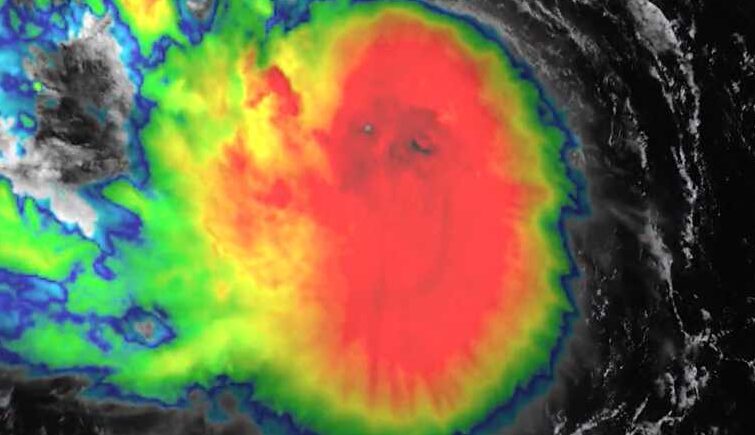
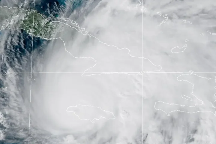
Tropical Storm Erin is growing stronger and is on track to become the first hurricane of the 2025 Atlantic season by Friday, weather experts say. The storm could rapidly intensify into a powerful Category 3 hurricane by the weekend.
As of Thursday morning, Erin was located about 890 miles east of the northern Leeward Islands, moving west at 17 mph with winds of 60 mph. These winds currently extend outward up to 60 miles from the storm’s center.
“Gradual strengthening is forecast during the next day or so, with more significant intensification possible on Friday and Saturday,” said National Hurricane Center (NHC) hurricane specialist Larry Kelly on Thursday.
The forecast shows Erin developing into a Category 1 hurricane with 75 mph winds by Friday afternoon. By Sunday, it’s expected to reach major hurricane status with winds of 115 mph. By Tuesday, the storm could strengthen further to 125 mph winds with gusts up to 155 mph.
Bryan Norcross, a hurricane expert, describes the atmosphere around Erin as “pristine” – meaning warm ocean temperatures, low wind shear, and moist air are creating perfect conditions for the storm to grow quickly.
While Erin’s center is expected to pass north of the Caribbean islands, the storm will likely bring tropical storm conditions to parts of the region. The northern Leeward Islands, Virgin Islands, and Puerto Rico could experience gusty winds, heavy rain, and dangerous surf conditions this weekend.
Similar Posts
“Swells generated by Erin will begin affecting portions of the northern Leeward Islands, the Virgin Islands and Puerto Rico by this weekend,” the NHC warned. “These swells are likely to cause life-threatening surf and rip current conditions.”
Current models show Erin curving northward after passing the Caribbean, likely staying away from direct landfall in the United States. However, the storm could bring high surf and dangerous rip currents to the U.S. East Coast next week.
“Depending on how strong and big Erin becomes, deep-sea swells could reach 50 feet or more,” according to AccuWeather.
The NHC emphasized there’s still uncertainty about Erin’s exact path beyond the Caribbean, particularly regarding potential impacts on the Bahamas, Bermuda, and the U.S. East Coast.
Erin is the fifth named storm of the 2025 Atlantic hurricane season, following Andrea, Barry, Chantal, and Dexter. None of the previous storms developed into hurricanes. NOAA recently updated its seasonal forecast, predicting 13-18 named storms this year, with 5-9 becoming hurricanes and 2-5 reaching major hurricane strength.
The height of hurricane season runs from mid-August through October, with the entire season continuing until November 30.


