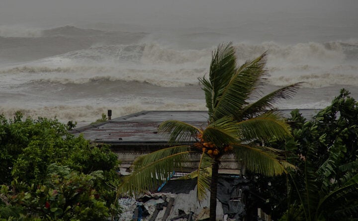
Australia is facing a complex weather crisis as record-breaking floods in New South Wales begin to recede while a new threat – described as the “most powerful cold front of the year” – approaches southeastern states.
The Bureau of Meteorology has issued severe weather warnings across three states and the ACT for damaging to destructive winds expected to peak on Monday. Wind gusts between 80-100 km/h are forecast for broad areas, with isolated gusts potentially reaching 125 km/h in alpine regions.
“This will be a significant weather event,” warned meteorologist Jonathan How. “Trees are weak across southeastern Australia due to how dry it’s been over the past autumn. So we could see high numbers of fallen trees and branches causing damage to property.”
Flood Crisis Continues
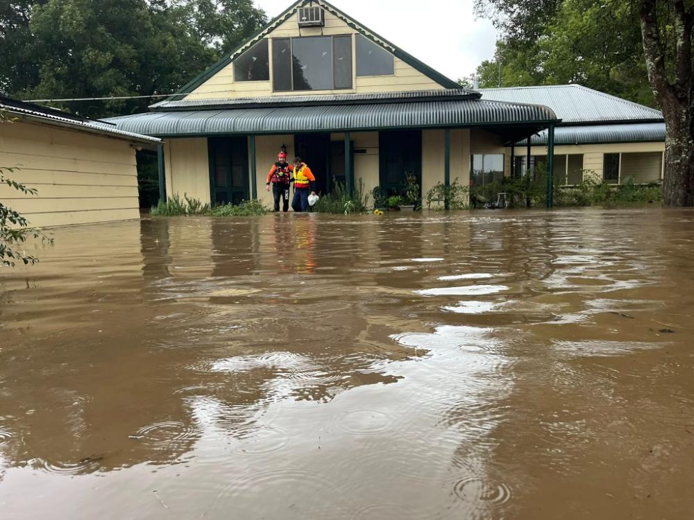
The NSW flood emergency that began around May 18 has claimed five lives and isolated approximately 50,000 people. Towns including Taree, Kempsey, Port Macquarie, and Coffs Harbour have experienced historic flooding, with Taree recording its wettest May since the 1800s with 427mm of rain in just two days.
Emergency services have conducted over 760 flood rescues, with NSW Premier Christopher Minns describing the response as “an amazing, heroic logistical effort.”
Similar Posts
Despite rainfall easing, NSW State Emergency Service Commissioner Michael Wassing cautioned that dangers remain: “Where locals would normally be used to flood waters receding very quickly in some cases, that is not the case.”
Prime Minister Anthony Albanese, visiting affected regions, assured communities: “You are not alone. The federal government, the state government, local government as well as the whole of the people of New South Wales and, indeed, the people of Australia are with you at this time.”
New Threat Approaches
As flood-affected communities begin recovery efforts, the Bureau of Meteorology warns that a significant cold front will sweep across southeastern Australia, bringing multiple hazards:
- Damaging winds will develop Sunday afternoon across South Australia’s Eyre and Yorke Peninsulas and Kangaroo Island before spreading eastward
- Adelaide will experience strong winds from late Monday morning
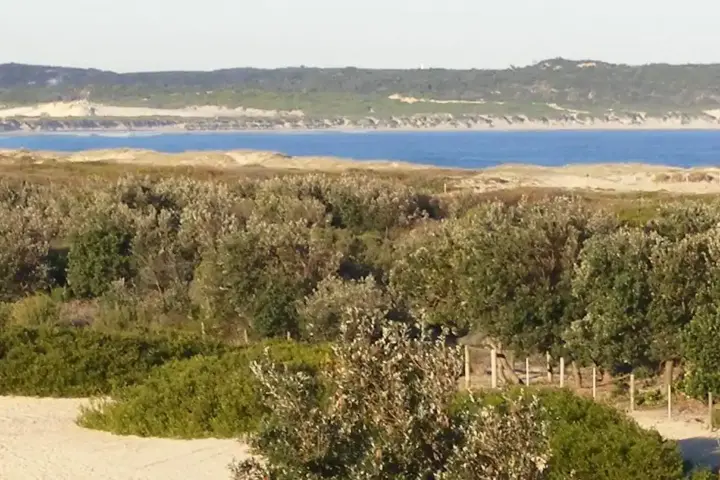
- Abnormally high tides and coastal hazards are expected along South Australia’s coast from Port Lincoln through to Victor Harbor
- Waves could reach 8-10 meters, coinciding with afternoon high tides
- Significant coastal erosion and inundation of low-lying areas is possible, including Adelaide beaches
- Snow is forecast for alpine areas as temperatures drop Tuesday
The approaching system will bring welcome rainfall to drought-affected regions. Most agricultural regions of South Australia have received less than 25mm of rain so far in 2025, with Adelaide experiencing its driest start to a year on record (31mm) since records began in 1839.
The cold front should deliver 20-30mm from Saturday to Tuesday across lower Eyre Peninsula, Kangaroo Island, Fleurieu Peninsula, southeastern South Australia, and western Victoria. Alpine areas could see 30-40mm, with 15-25cm of snow accumulating by Tuesday afternoon.
Northern Australia Weather System
While southern states battle severe conditions, northern Australia faces an unseasonable weather event of its own. The first northwest cloud band of 2025 is forming, with the Kimberley region expected to receive up to 200mm of rain – about ten times the May average – triggering flood watches for several rivers.
The rain band will extend through central Australia, potentially bringing over 50mm to Alice Springs (three times its May average) and even reaching normally dry season areas like Darwin with showers forecast from Monday to Thursday.

As Australia grapples with these multiple weather systems, authorities urge residents to stay informed about warnings and conditions in their areas. The latest updates can be found on the Bureau of Meteorology website and app.
“It is important that you keep up to date with the latest forecasts and warnings,” stressed meteorologist How. “As always, please stay safe.”
