A brief tornado touched down in northern Osceola County on August 4, 2025, during an intense round of severe storms that prompted warnings across parts of Central Florida.
The National Weather Service in Melbourne confirmed the tornado touched down at approximately 7:14 p.m. along the southern side of Lake Joel in St. Cloud, near Sungrove Lane and the C-32 Canal. The twister traveled eastward through a densely wooded area before lifting around 7:22 p.m. just west of Storey Bend Road.
The tornado reached a maximum width of about 100 yards and traveled roughly two miles during its eight-minute lifespan. Weather officials classified it as an EF-U tornado, meaning its exact strength remains “unknown” on the Enhanced Fujita scale due to limited access to the affected area.
“The brief, and likely weak, tornado developed as a result of numerous low-level boundary collisions,” according to the NWS report. Meteorologists explained this was caused by a unique weather setup where east and west coast sea breezes collided with rain-cooled air from a thunderstorm, creating enough spin to produce the tornado.
The National Weather Service issued the tornado warning at 7:18 p.m. for parts of Orange and Osceola counties after radar detected rotation. Weather radar captured what meteorologists call a “couplet” – a signature of converging winds that often signals a tornado.
FOX 35 Storm Team Meteorologist T.J. Springer described the conditions: “It got wild this evening. We’re seeing a lot of lightning and torrential rain, so if you’re out traveling, you might need to pull over.”
Similar Posts
The severe weather system brought more than just the tornado. Nearly 300 lightning strikes were recorded across the Orlando metro area in just 30 minutes. Heavy downpours led to warnings about dangerous travel conditions throughout the evening.
FOX 35 News viewer Matthew Thompson captured video of what appeared to be a funnel cloud near Nova Road and US-192, helping to confirm what radar had detected. This visual evidence, combined with radar data, prompted the National Weather Service to conduct a damage survey the following day.
The storm’s impact extended beyond the tornado warning area. The FOX 35 Storm Tracker Radar continued to show active lightning and heavy rainfall across areas including Polk City, Walt Disney World, and Clermont as the storm system moved toward Florida’s Space Coast.

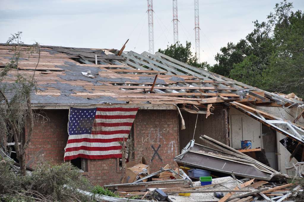
Despite the tornado’s touchdown, no injuries or significant property damage were reported, likely due to the remote, rural location where it occurred.
Weather experts remind residents that Florida’s summer months often bring severe thunderstorms and occasional tornadoes, especially when sea breezes from different coastlines collide inland. The NWS encourages people to stay alert during severe weather by monitoring reliable forecasts and having emergency plans ready.