Tropical Storm Andrea formed Tuesday in the central Atlantic Ocean, marking the first named storm of the 2025 Atlantic hurricane season. The storm sits far from land, roughly 1,205 miles west of the Azores and about 900 miles east-northeast of Bermuda. Andrea is moving east-northeast at 17 mph with winds reaching 40 mph – just enough to qualify as a tropical storm.
Weather experts predict Andrea won’t last long. The National Hurricane Center (NHC) expects the storm to weaken starting Tuesday night and completely disappear by Wednesday night. This short lifespan stems from harsh conditions the storm faces, including strong winds in the upper atmosphere that tear storms apart and cooler ocean waters that rob tropical systems of their energy.
The storm’s development followed a brief period of uncertainty. The system began as a low-pressure area that forecasters watched since Sunday. By Monday, its chances of strengthening reached 70%, before dropping temporarily to 50% early Tuesday. Later that morning, increased thunderstorm activity pushed the system to tropical storm status, earning it the name Andrea.
What makes Andrea unusual isn’t its strength but its location. Hurricane specialist Michael Lowry noted this storm formed farther northeast than any June tropical system since record-keeping began. Ryan Truchelut of Weather Tiger confirmed this, calling Andrea’s birthplace the “farthest northeast storm formation point on record for June since 1900.”
Despite this geographic oddity, Andrea’s timing is remarkably average. Climate data shows the first named Atlantic storm typically forms around June 20, making Andrea’s June 24 arrival right on schedule.While Andrea poses no threat to land, its formation serves as a reminder that hurricane season is underway – and forecasters predict a busy one. The National Oceanic and Atmospheric Administration (NOAA) expects a 60% chance of an above-normal season with 13-19 named storms, 6-10 hurricanes, and 3-5 major hurricanes (Category 3 or stronger). Colorado State University offers a similar outlook, predicting 17 named storms, 9 hurricanes, and 4 major hurricanes.
Similar Posts:
Several factors drive these predictions. Ocean temperatures remain warmer than average across much of the tropical Atlantic, providing the heat energy storms need to form and strengthen. Forecasters also note neutral conditions in the Pacific Ocean rather than El Niño, which typically suppresses Atlantic hurricane activity.
Despite these predictions, June has been relatively quiet. AccuWeather’s hurricane expert Alex DaSilva explains this is because of “strong wind shear and an abundance of Saharan dust” currently protecting coastal areas. DaSilva expects a “second-half loaded season,” with more storms forming later in summer.
Meteorologist Jim Dickey reinforced this point, noting that a slow start doesn’t predict the final outcome. Historical records show that hurricane seasons starting after July 1 still average 11 named storms, including six hurricanes and three major hurricanes. The busiest part of hurricane season typically runs from August through September, when conditions become most favorable for tropical development.
Andrea’s central pressure measured 1014 millibars – relatively high for a tropical system and indicating minimal strength. The combination of cooler waters and increasing wind shear will soon tear the storm apart, likely within 36 hours according to NHC forecasts.

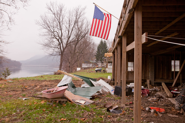
For coastal residents from the Caribbean to the U.S. Eastern Seaboard, Andrea serves as a timely reminder to prepare for potentially stronger storms later this season. Emergency officials recommend creating family emergency plans, gathering supplies for several days, knowing local evacuation routes, and securing homes against potential damage.
The Atlantic hurricane season runs through November 30, giving plenty of time for more significant storms to develop. When the next storm reaches tropical storm strength, it will receive the name Beryl.