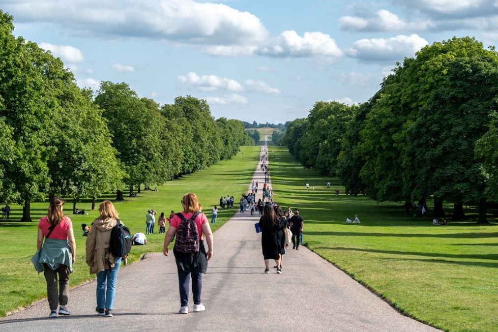
TfL has unveiled new walking maps coinciding with National Walking Month in May, demonstrating to city residents the surprisingly short time needed to travel between stations on foot rather than using public transport or driving.
The maps cover the City of London and West End, showing exactly how many minutes it takes to walk between stations, with distances marked in meters. According to TfL, they’ve also created a comprehensive guide based on the familiar Tube layout that displays walking durations for stations within Zones 1 and 2.
These aren’t just basic maps – they point out major attractions like Hamleys, the Tate Modern and Barbican, while also marking sloping areas to help people with accessibility needs plan better routes.
Will Norman, London’s Walking and Cycling Commissioner, highlighted the broader benefits: “Walking, especially when combined with public transport, is one of the most effective ways to reduce our reliance on cars. It also improves air quality, reduces congestion and road danger and connects communities.”
The maps support Mayor Sadiq Khan’s target to have 80% of all London journeys made on foot, by bike, or on public transport by 2041. This initiative comes shortly after TfL’s April announcement of an £87 million investment to improve walking and cycling safety across London.
Similar Posts
Health benefits are a major focus of the campaign. Research shared by the national walking charity Living Streets, which has partnered with TfL for this initiative, indicates that lack of physical activity contributes to numerous chronic health issues and is responsible for approximately one-sixth of deaths across the UK.
“Walking is one of the easiest ways to get more activity into our everyday lives,” said Tanya Braun from Living Streets. “Just a 20-minute walk can have fantastic benefits, helping to prevent certain cancers, type 2 diabetes and depression.”
Beyond health, the walking maps highlight how traveling on foot lets people discover hidden parts of London they might miss when underground. Christina Calderato, TfL’s Director of Strategy, noted: “In London we’re spoiled with so much history and intrigue on our streets, which makes travelling by foot all the more rewarding as we discover cobbled streets, hidden parks and neighbourhood restaurants we never knew about.”

TfL has previously worked on promoting walking in the city. The transport authority introduced the Green Link Walk in the previous year, creating a pathway that spans 15 miles and connects dozens of green spaces from northern to southern London. TfL officials also mentioned their collaboration with the Go Jauntly platform to develop walking routes that connect with the Overground network.
The walking maps are available to download from the TfL website, making them easily accessible for anyone looking to swap their shorter Tube journeys for a healthier, more scenic option.