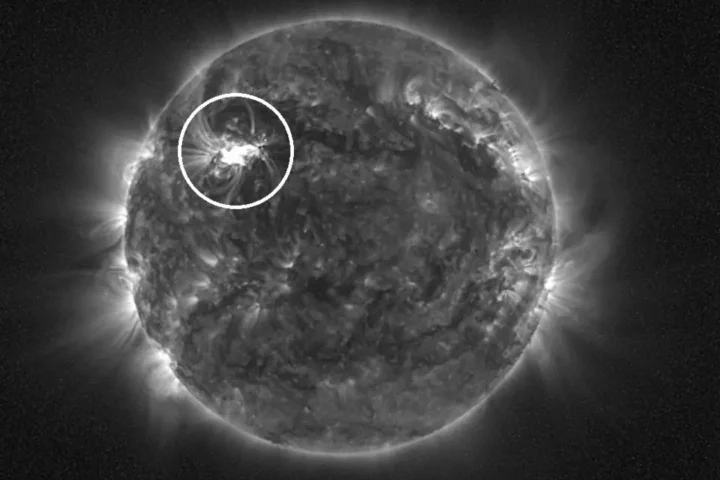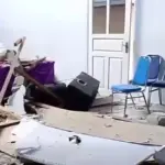
A powerful earthquake hit the waters off Russia’s Kamchatka Peninsula on July 30, 2025. The 8.8 magnitude quake created a tsunami that spread across the Pacific Ocean. What happened next marked a breakthrough in how scientists track these dangerous waves.
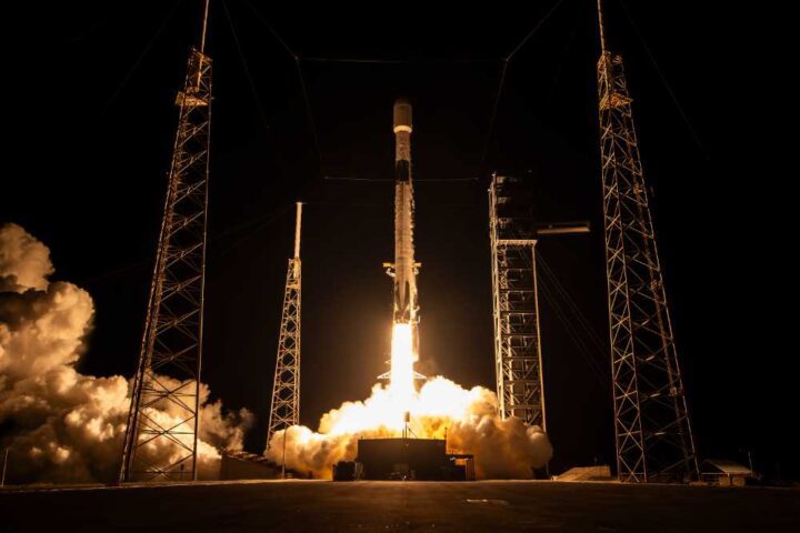
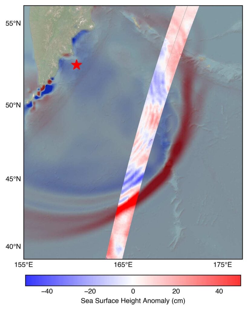
NASA’s Surface Water and Ocean Topography satellite, known as SWOT, spotted the tsunami about 70 minutes after the earthquake. The satellite measured the wave as it moved through the ocean. This was more than just watching a wave pass by. It was the first time scientists could test their tsunami forecasting models against real satellite data.
The wave that SWOT detected stood more than 1.5 feet tall in the deep ocean east of Japan. That might not sound like much, but tsunamis work differently than regular waves. Ben Hamlington, who studies oceans at NASA’s Jet Propulsion Laboratory, explains why this matters. “What might only be a foot or two in the open ocean can become a 30-foot wave in shallower water at the coast,” he said.
This happens because tsunamis stretch from the ocean floor all the way to the surface. When they reach shallow coastal waters, they pile up and grow much taller. A small wave in deep water can become a wall of water near the shore.
SWOT uses a special radar system called Ka-band Radar Interferometer, or KaRIn for short. This instrument works like having super-precise eyes that can measure water height across wide areas of the ocean. The satellite flies about 560 miles above Earth and can measure the height of almost all water on the planet’s surface.
The real test came when scientists compared SWOT’s measurements to the forecasts made by NOAA’s Center for Tsunami Research. Josh Willis, another oceanographer at the Jet Propulsion Laboratory, was impressed with the results. “NOAA’s tsunami forecast was right on the money,” he said. This kind of validation helps scientists trust their models more and improve warnings for coastal communities.
The timing of SWOT’s observations was crucial. The satellite caught the tsunami’s leading edge as it traveled across the Pacific. Scientists could see not just how tall the wave was, but also its shape and which direction it was heading. This complete picture helps forecasters predict where the wave will hit and how strong it might be when it arrives.
Vasily Titov, the chief scientist at NOAA’s tsunami research center, believes SWOT could change how tsunami warnings work. “It suggests SWOT data could significantly enhance operational tsunami forecasts,” he said. This capability has been a goal since the devastating 2004 Sumatra tsunami that killed hundreds of thousands of people across the Indian Ocean.
SWOT is not just an American project. It represents cooperation between NASA and France’s space agency CNES. Canada’s Space Agency and the UK Space Agency also contributed important parts. This international teamwork brings together the best technology from multiple countries.
The satellite has already proven its worth in other disasters. In September 2023, a massive rockslide in Greenland’s Dickson Fjord created a unique tsunami. The wave bounced back and forth in the narrow fjord for nine days, creating vibrations that scientists detected thousands of miles away. SWOT captured detailed measurements of this unusual event, showing how the technology can monitor different types of water-related hazards.
Similar Posts
What makes SWOT special is its wide view of the ocean. Earlier satellites could only measure water height in narrow strips. SWOT’s radar can scan across much broader areas, giving scientists a complete picture of how water moves across large regions. This broader view helps them understand wave patterns that single-point measurements might miss.
Nadya Vinogradova Shiffer, NASA’s program scientist for SWOT, describes the satellite’s advantage this way: “The power of SWOT’s broad, paintbrush-like strokes over the ocean is in providing crucial real-world validation, unlocking new physics, and marking a leap towards more accurate early warnings and safer futures.”
For communities living near coastlines, these improvements could mean the difference between life and death. Better tsunami forecasts lead to more accurate evacuation orders. When people know a dangerous wave is really coming, they can get to safety faster. When forecasts show a wave will be small, unnecessary evacuations can be avoided.

The Kamchatka tsunami showed that SWOT’s technology works as designed. Scientists can now validate their computer models against actual measurements from space. This validation helps them improve the models and make better predictions for future tsunamis.
As climate change affects ocean conditions and coastal populations continue to grow, tools like SWOT become even more important. The satellite represents a new generation of disaster monitoring technology that could help protect millions of people living near the world’s coastlines.