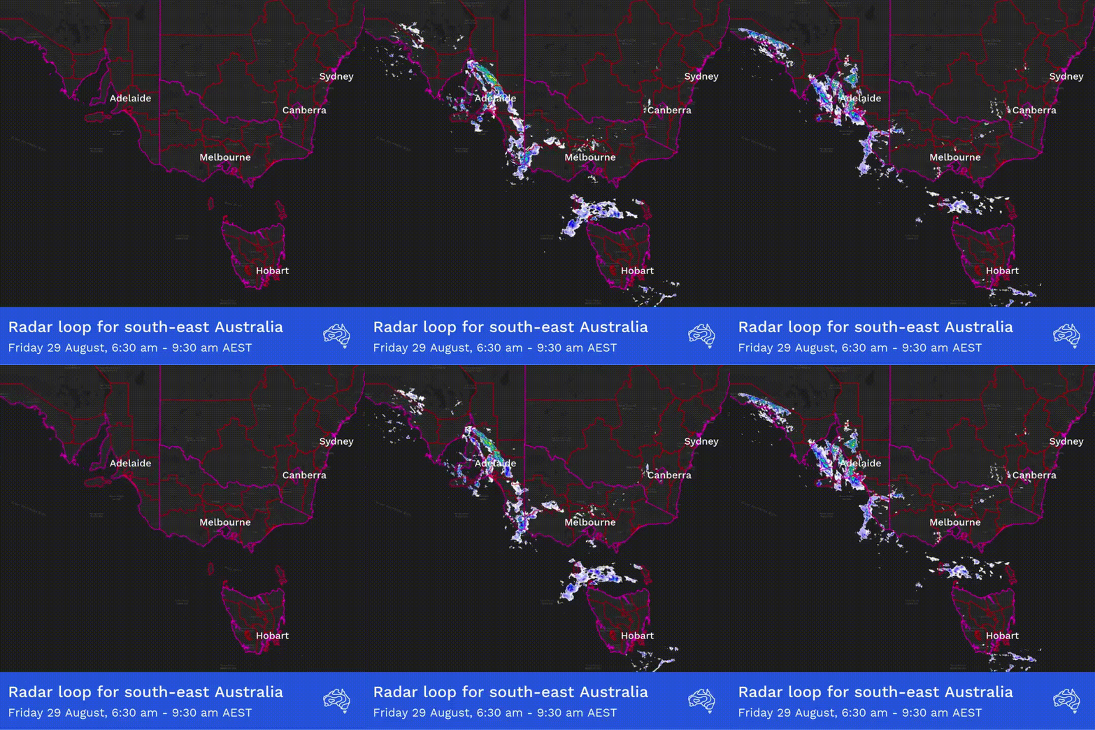
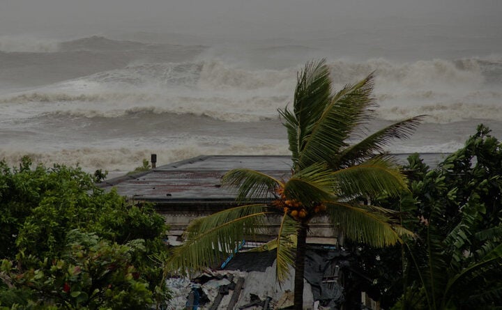
The Bureau of Meteorology (BOM) has issued a rare tornado warning for Adelaide’s northern suburbs today as a powerful cold front brought severe weather conditions across South Australia.
At 6:45 am Friday, August 29, 2025, the BOM issued a severe thunderstorm warning that included a tornado warning for the Barossa, Adelaide Hills, Gawler, Playford and parts of Mount Barker and Adelaide council areas. The warning specifically mentioned “very dangerous thunderstorms likely to produce tornadoes and destructive winds.”
The morning development of thunderstorms capable of producing tornadoes represents an unusual meteorological event for the Adelaide region, where such intense rotating storm systems rarely form.
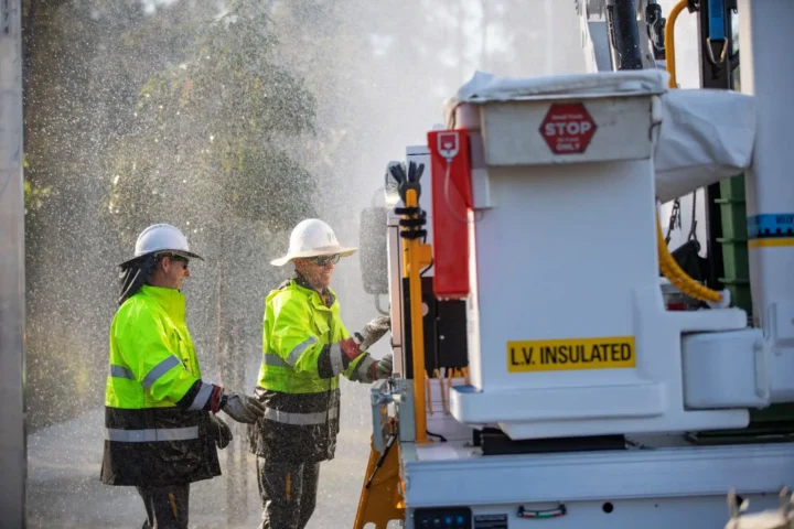
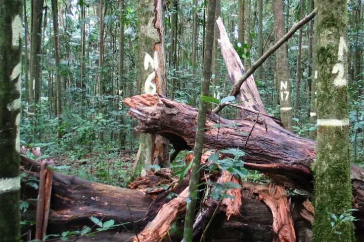
Structural damage reports began flowing in as the morning progressed, with residential roofing materials, fencing, and outdoor structures bearing the brunt of the destructive winds. According to SA Power Networks, more than 7,000 customers have experienced power outages across the state, with over 5,800 still without electricity at the time of reporting.
The BOM’s Thursday forecast had accurately predicted this severe weather system, noting “damaging winds and severe storms possible across areas of SA Friday” with “rain tending to showers and storms from the early morning about the coasts, pushing further inland during the afternoon.”
In an update posted at 4:35 pm Friday, the Bureau of Meteorology warned that the danger has not yet passed. Their latest tweet confirmed that the “Severe Weather Warning for DAMAGING WINDS” remains in effect, with “damaging winds continue a risk across the south-east, including around Adelaide, easing later tonight.”
The updated warning can be accessed at bom.gov.au/products/IDS21037.shtml, where residents can find the most current information about affected areas and expected conditions.
Today’s maximum temperatures are tracking “below average” according to BOM data, as the winter cold front introduces a significantly cooler air mass across the state. The State Emergency Service (SES) has responded to 235 incidents so far, with 112 still ongoing, primarily involving trees torn down by the widespread strong winds.
Looking ahead to Saturday, the BOM has forecast “isolated light showers about the southern agricultural area of SA,” which will later contract to coastal regions. In a tweet posted just 27 minutes ago, they noted that “fresh and gusty southwesterly winds” will moderate and shift to “southeasterly inland during the day,” though maximum temperatures will remain below average.The severe weather event continues to affect the region, with emergency services responding to incidents across impacted areas as conditions gradually ease through the night. A mini tornado was reportedly sighted in Elizabeth Park earlier this morning, though official confirmation from the Bureau of Meteorology is still pending.
